Applications
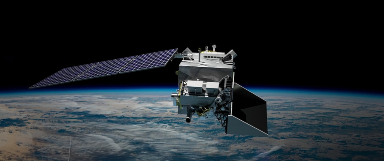
PACE is benefiting society by delivering high-quality observations of our ocean and atmosphere. Its innovative design and cutting-edge technology are designed to study the earth in new ways and deliver a variety of science data products.
A key activity is the PACE Applications Program, which engages individuals and groups to use PACE data for their projects. We work with you — scientists, policy makers, public health practitioners, and industry professionals — to apply PACE data to practical societal needs. The goal of the PACE Applications Program is to foster new partnerships and out-of-the-box thinking that will generate inventive solutions that aid society. These efforts support the NASA Applied Sciences Program.
 PACE's technology is supporting numerous applications across land, sea, and air. Who benefits from PACE data and how?PACE's technology is supporting numerous applications across land, sea, and air. Who benefits from PACE data and how?PACE's technology is supporting numerous applications across land, sea, and air. Who benefits from PACE data and how?
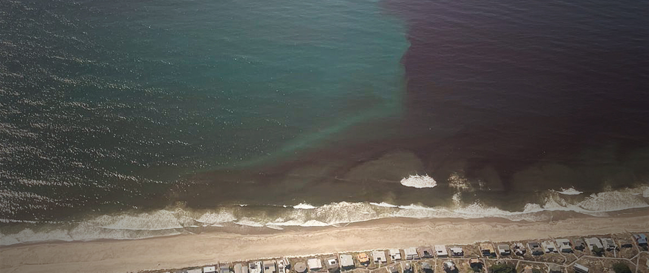 Natural and coastal resource managers focused on water and air quality for human health, resource management, and disaster responseNatural and coastal resource managers focused on water and air quality for human health, resource management, and disaster responseNatural and coastal resource managers focused on water and air quality for human health, resource management, and disaster response
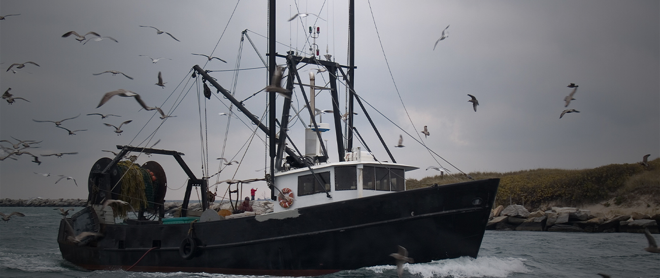 Commercial and recreational fisheries users for ocean conditions, fishery productivity, and toxic algae bloom responseCommercial and recreational fisheries users for ocean conditions, fishery productivity, and toxic algae bloom responseCommercial and recreational fisheries users for ocean conditions, fishery productivity, and toxic algae bloom response
 Users of water quality data for environment characterization & cloud and aerosol data for weather and visibility forecasts for operational effortsUsers of water quality data for environment characterization & cloud and aerosol data for weather and visibility forecasts for operational effortsUsers of water quality data for environment characterization & cloud and aerosol data for weather and visibility forecasts for operational efforts
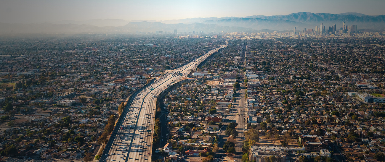 PACE sees the air and clouds with unmatched, highly accurate technology that supports public health with improved air quality toolsPACE sees the air and clouds with unmatched, highly accurate technology that supports public health with improved air quality toolsPACE sees the air and clouds with unmatched, highly accurate technology that supports public health with improved air quality tools
 PACE provides agriculture and forestry observations that enable advanced plant growth calculations & new insights on vegetation health and conditionPACE provides agriculture and forestry observations that enable advanced plant growth calculations & new insights on vegetation health and conditionPACE provides agriculture and forestry observations that enable advanced plant growth calculations & new insights on vegetation health and condition
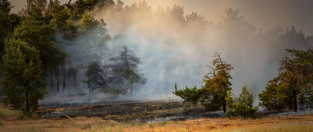 PACE observations are designed to aid disaster response including wildfire smoke and volcanic eruptionsPACE observations are designed to aid disaster response including wildfire smoke and volcanic eruptionsPACE observations are designed to aid disaster response including wildfire smoke and volcanic eruptions
 PACE's detailed information about plankton supports aquaculture farmers, coastal recreation, and shellfish harvestingPACE's detailed information about plankton supports aquaculture farmers, coastal recreation, and shellfish harvestingPACE's detailed information about plankton supports aquaculture farmers, coastal recreation, and shellfish harvesting
We strive to effectively transition individuals and groups from being potential users to those who actively employ PACE observations to address environmental issues. Individuals or organizations in both communities can be public or private, federal or regional entities, with local, national, or international scopes for their applications.
How Does it Work?
The PACE Applications Program will engage two groups:
- Community of Practice – People who are familiar with NASA products and routinely use satellite remote sensing data in processes or decision support. Sign up by joining the PACE Community Mailing List.
- Applications Partners & Early Adopters – We work with individuals and groups to accelerate the translation of PACE observations into action with direct economic, health, and other benefits to society. If you meet the criteria on this page and are interested in a partnership with PACE Applications, please fill out our application.
How Do I Get Involved?
- There are many opportunities! Check out various ways to engage with PACE on our Get Involved page.
Satellite Data Applications
Air (E)quality

Read the interactive story of PACE Early Adopter Marcela Loría-Salazar (University of Oklahoma) who is using PACE data to investigate long-range transport of aerosols. Her work is motivated by satellite data’s potential to help meet the needs of communities with less access to air quality information due to a lack of ground monitors. To meet this important goal, she is using data from PACE's polarimeters to improve smoke forecasts, understand effects of aerosols on regional weather, and inform health alert forecasts related to pollen, dust, and smoke.
Open "Air (E)quality" StoryMapGetting Wiser about Wildfires

PACE is set to help track and study the fine particulate matter that is emitted into the atmosphere as fires burn. PACE's atmospheric data are used for a broad range of applications, including events such as wildfires. As wildfires burn through fuels, large amounts of fine particulate matter are emitted into the atmosphere and mix with gases to become aerosols. PACE's three science instruments – the Ocean Color Instrument (OCI) and two polarimeters – can provide information on the atmospheric concentration of wildfire-related aerosols. The multi-angle polarimeters, SPEXone and HARP2, can reduce the uncertainty of smoke plume injection height and aerosol height profiles.
Read "PACE's Applications for Wildfires" (NASA Applied Sciences)Using Scientific Muscle to Grow Safer Mussels
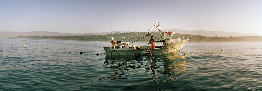
"Mussel Man" Bernard Friedman regularly tests the toxin levels of mussels. His data are combined with ocean color measurements from satellites and models of ocean circulation. The goal of this effort is to predict the presence of domoic acid, a toxin associated with specific types of phytoplankton (Pseudo-nitzschia). This toxin can be concentrated in shellfish, potentially harming the mammals – including humans – that consume them.
Read more about the "Mussel Man" (NASA Earth Observatory)Learn more about Pseudo-nitzschia (Phytopia)