Blog
Why Does PACE Fly Where It Does? The Science Behind Its Orbit
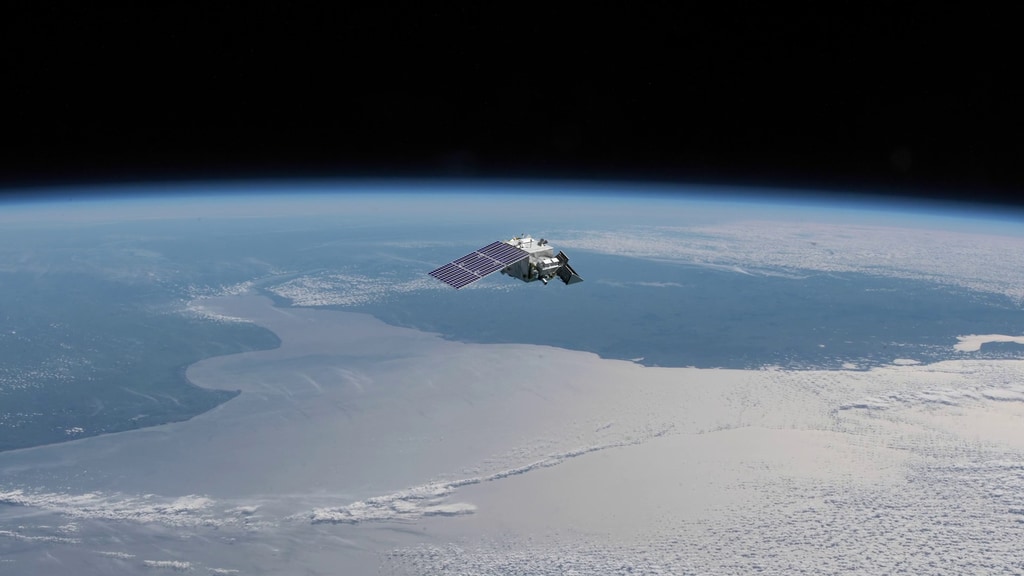
Posted on Monday, June 22, 2026 at 12:00:00For PACE the answer was a carefully selected orbit approximately 675 kilometers (419 miles) above Earth. This orbit allows PACE to collect high-quality observations of our planet's oceans and atmosphere while providing near-global coverage every two days.
Following the Sun
PACE operates in what is known as a sun-synchronous orbit, a special type of low-Earth orbit designed so that the satellite crosses any given location at nearly the same local solar time every day.
For PACE, that crossing time is approximately 1:00 p.m. local solar time.
"One of the biggest advantages of a sun-synchronous orbit is that the lighting conditions remain nearly constant from day to day," explained Frederick S. Patt, PACE project manager. "That consistency is extremely important when you're trying to measure subtle changes in ocean color, aerosols, and clouds."
Because the angle of sunlight remains relatively stable, scientists can more confidently distinguish real environmental changes from differences caused simply by changing illumination conditions.
Sun-synchronous orbits achieve its consistency through a slow rotation of the orbital plane. As Earth travels around the Sun, the orbit gradually shifts to maintain the same relationship with the Sun throughout the year.
Why 675 Kilometers?
Selecting an orbit is always a balancing act. If a satellite flies lower, it can see smaller details on the surface. However, it covers less area during each pass and experiences greater atmospheric drag. If it flies higher, it can observe a larger swath of Earth but sacrifices some spatial resolution.
For PACE, mission designers determined that an altitude of 675 kilometers (419 miles) offered the optimal balance between image quality, coverage, and revisit time.
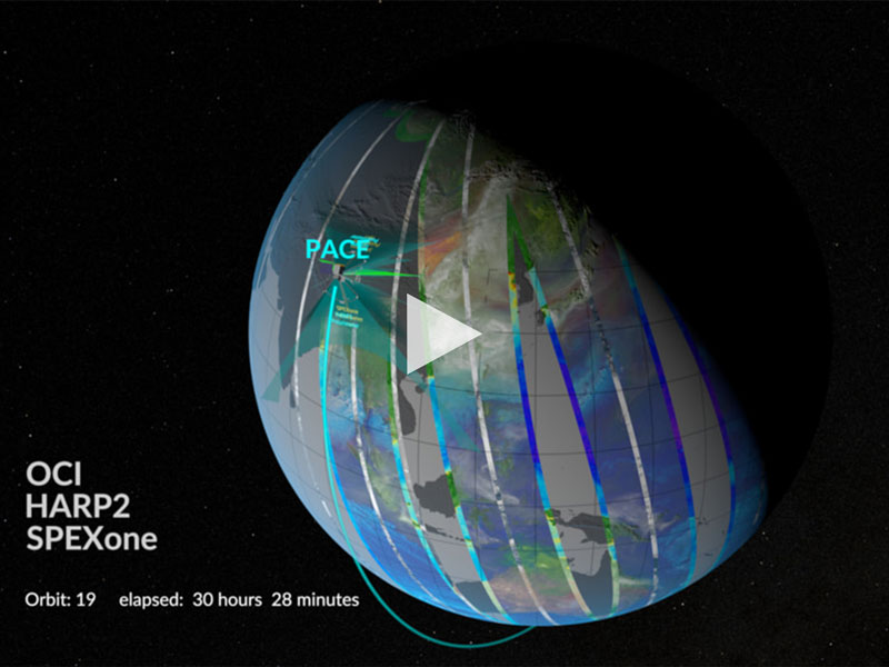
At this altitude, PACE can achieve its approximately 1-kilometer (0.6-mile) spatial resolution while covering nearly the entire globe every two days.
"The orbit and instrument design are closely connected," Patt said, "You can't simply choose one without considering the other."
Choosing PACE's orbit wasn't a one-time decision. Instead, scientists and engineers worked through an iterative process, evaluating how orbital parameters would affect the mission's scientific goals.
PACE's Ocean Color Instrument (OCI) uses a rotating telescope design that allows it to collect a continuous stream of observations across a broad range of wavelengths.
Designing an instrument capable of collecting highly accurate measurements while operating at high data rates required careful coordination between spacecraft engineers and instrument developers.
Every adjustment involved trade-offs. Higher resolution often means more data. More data can require additional onboard storage and transmission capacity. Achieving better signal quality can influence detector design and observation strategies.
Building on Decades of Earth Observations
PACE is not operating in isolation. One of NASA's long-term goals is maintaining a continuous climate and environmental record that spans multiple satellite missions and decades of observations.
To accomplish this, scientists carefully compare measurements from different instruments and missions, a process known as cross-calibration.
By flying in a similar observational framework as previous Earth-observing missions, PACE can be linked to historical records collected by earlier ocean color sensors. These comparisons help ensure that changes observed in the data reflect real environmental trends rather than differences between instruments.
Maintaining this continuity is especially important for tracking long-term changes in ocean ecosystems, atmospheric particles, and climate-related processes.
Keeping the Orbit on Track
Even carefully designed orbits require maintenance.
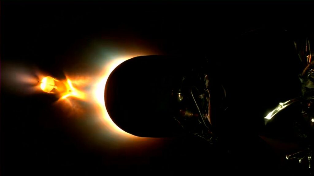
Over time, gravitational influences, atmospheric drag, and other forces can gradually alter a satellite's path. Throughout its operational lifetime, PACE periodically performs orbit maintenance maneuvers to remain within its designated orbital parameters.
Maintaining the proper orbit helps preserve the consistent viewing geometry that scientists rely on for accurate measurements.
Eventually, when the mission reaches the end of its operational life, the spacecraft will be guided through a controlled deorbit process. This ensures that PACE safely re-enters Earth's atmosphere and complies with modern orbital debris mitigation requirements.
Part of a Larger Earth Science Fleet
PACE joins a long tradition of Earth-observing satellites that operate in carefully coordinated orbits.
Some missions have flown as part of the famous "A-Train," a constellation of satellites that crossed the equator within minutes of one another, close to 1:30 PM local solar time, allowing scientists to study the same atmospheric and surface features from multiple perspectives.
While PACE operates independently, it continues the broader effort to build a comprehensive understanding of Earth's interconnected systems by contributing high-quality observations of oceans, aerosols, and clouds.
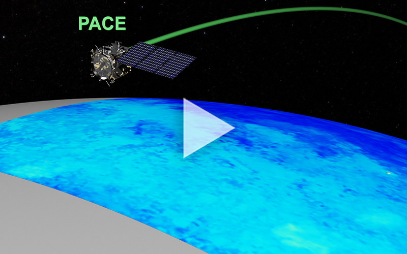
The next time you see a stunning PACE image of swirling phytoplankton blooms or atmospheric aerosols drifting across continents, remember: the science begins not only with the instruments, but with the orbit that puts them in exactly the right place.
Watch More Visualizations of PACE in Orbit