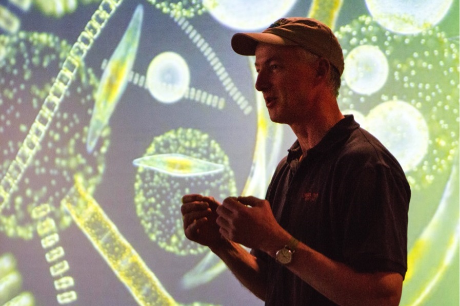
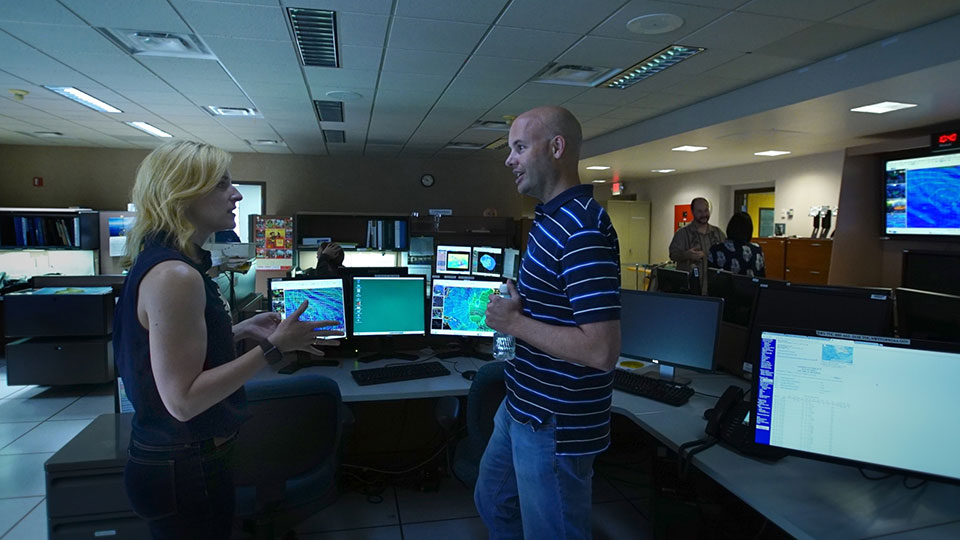
Campaigns
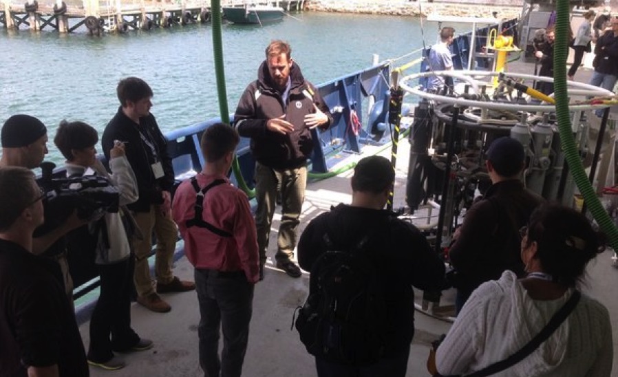
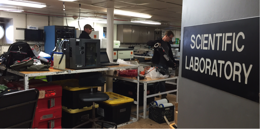
Observational studies can provide data and information that benefit PACE. Several field-based campaigns have been or will be conducted at specific locations over defined time periods, using a variety of instruments. Proof-of-concept nanosatellites are another type of campaign with direct connections to PACE.
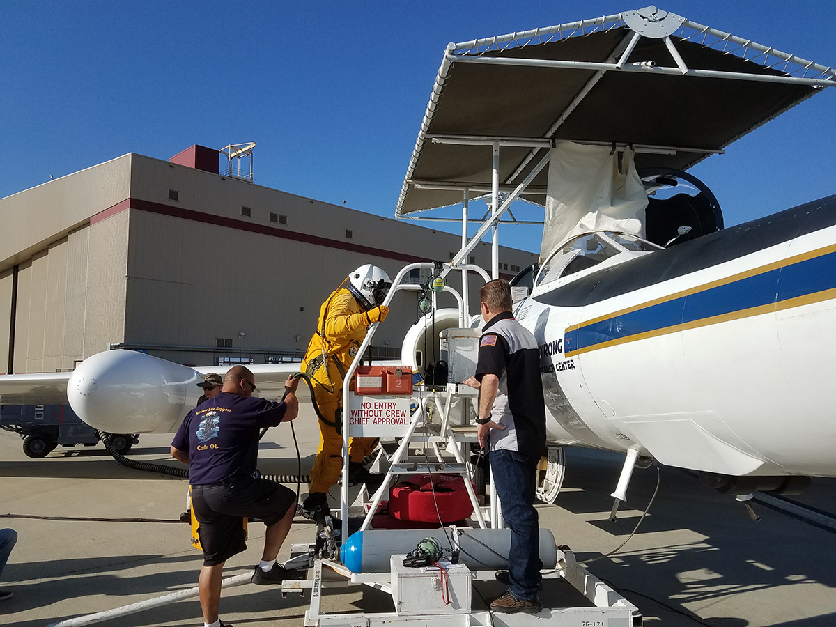
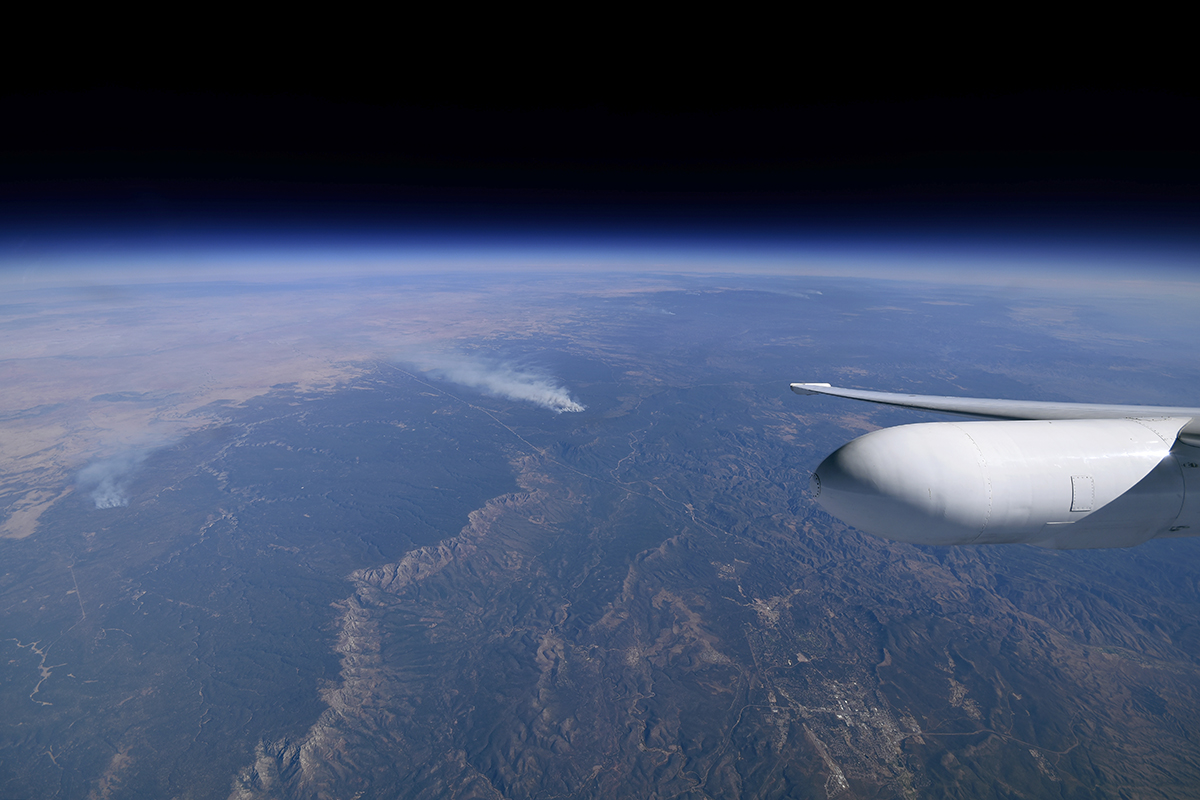
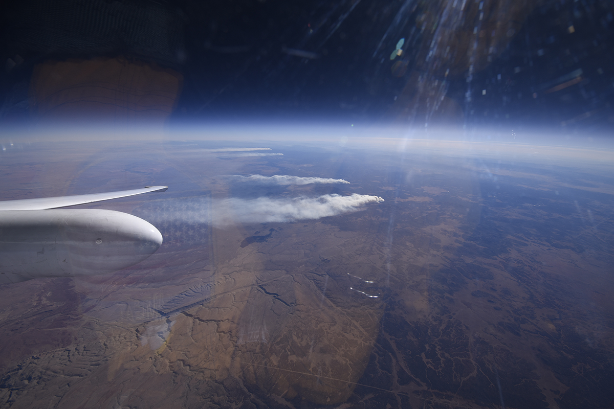
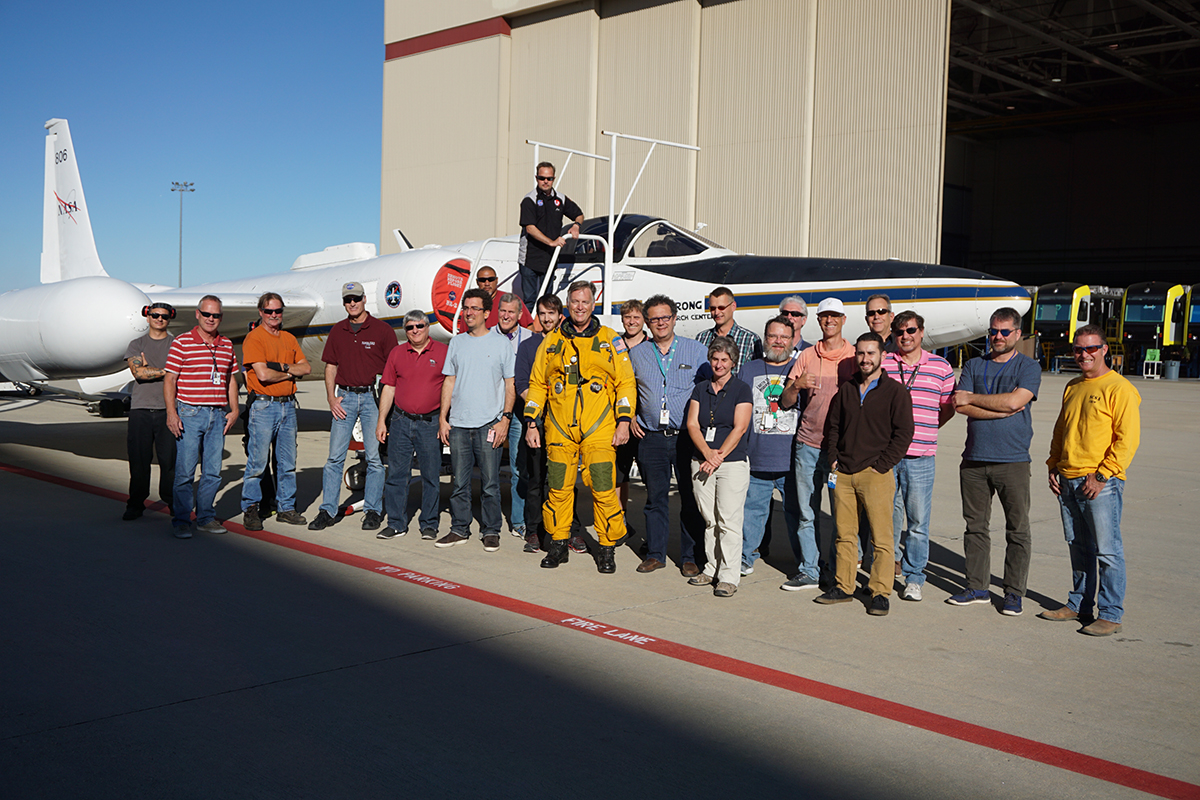
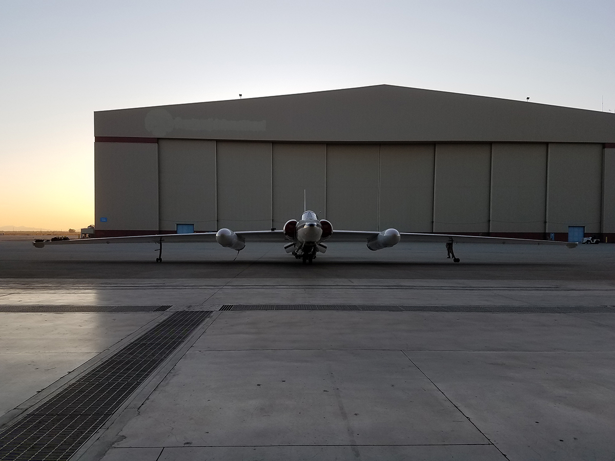
PACE Postlaunch Airborne eXperiment (PACE-PAX)
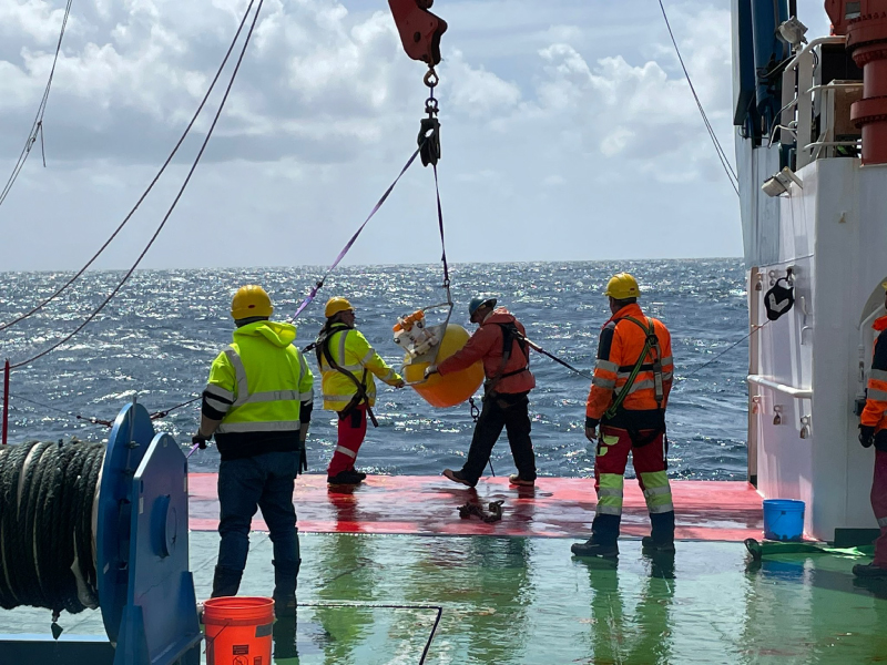
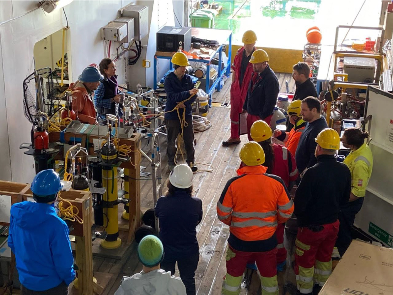
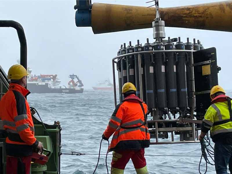
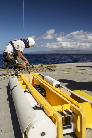
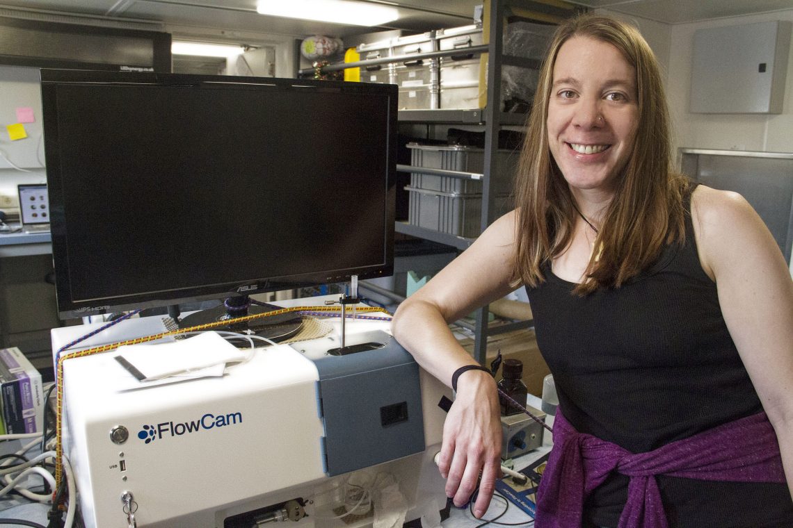
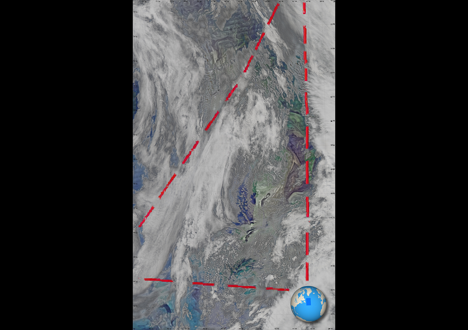
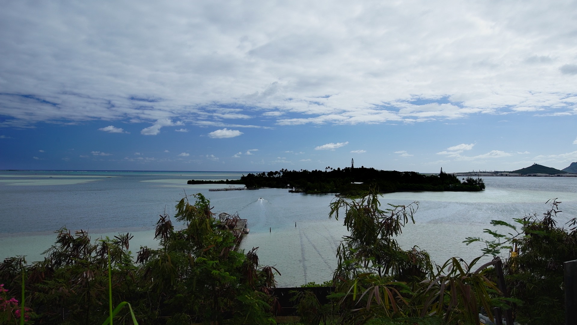
The PACE Postlaunch Airborne eXperiment (PACE-PAX) was a field campaign conducted in September, 2024 in California and nearby coastal areas. Motivated by the PACE Science Data Product Validation Plan, PACE-PAX specifically addressed validation of new data products.
The PACE-PAX design was guided by a Validation Traceability Matrix (XLSX, 5.1 MB), which connects validation objectives to desired measurements, instruments that can make those measurements, and the requirements for successful operation. Further details are described in our technical memo and summary.
PACE-PAX Validation Objectives
- Validate new PACE and EarthCARE products
- Provide sufficient data to validate narrow swath orbital observations
- Validate radiometric and polarimetric properties
- Focus on specific processes or phenomena
Details
- August 28 – September 30, 2024
- 13 flights, 81 flight hours on the NASA ER-2
- 17 flights, 60 flight hours on the CIRPAS Twin Otter
- 15 day trips by the NOAA R/V Shearwater
- 9 day trips by the R/V Blissfully
- 16 days of targeted observations during a PACE overpass
- 6 days of targeted observations during an EarthCARE overpass
Baseline campaign goals satisfied
More details and data access >>
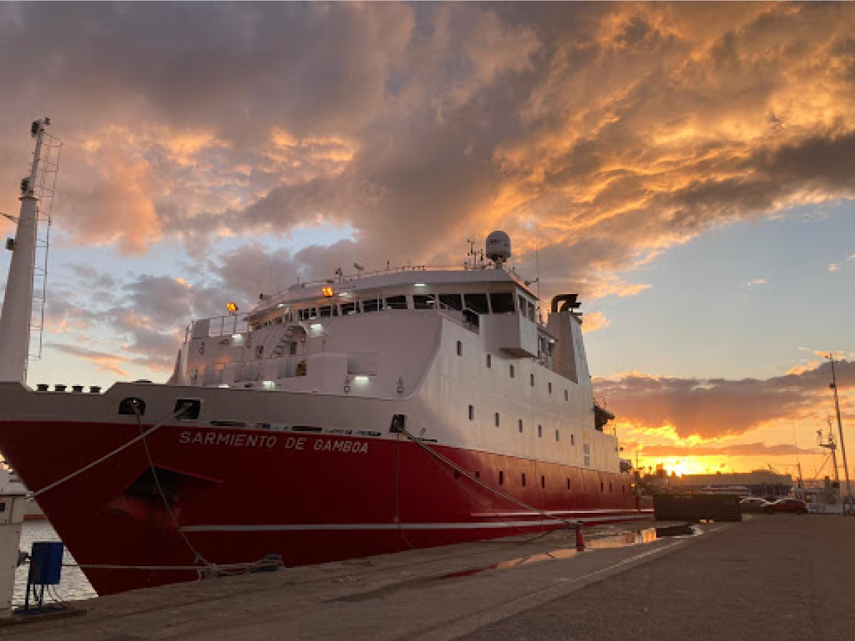
Cruise details:
- April 27 – May 14, 2024
- Bay of Bengal
NASA Participants:
- Scott Freeman (GSFC)
- Joaquin Chaves (GSFC)
- Joaquim Goes (Columbia University/LDEO)
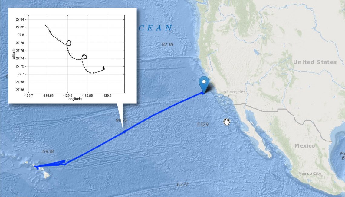
EKAMSAT (Enhancing Knowledge of the Arabian Sea Marine Environment through Science and Advanced Training)
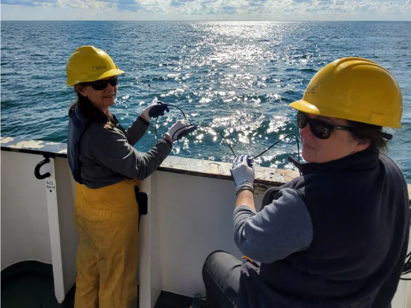
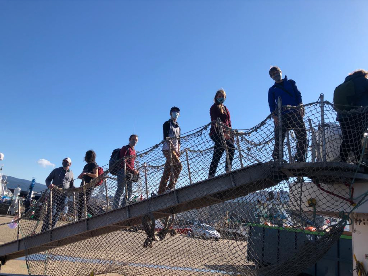
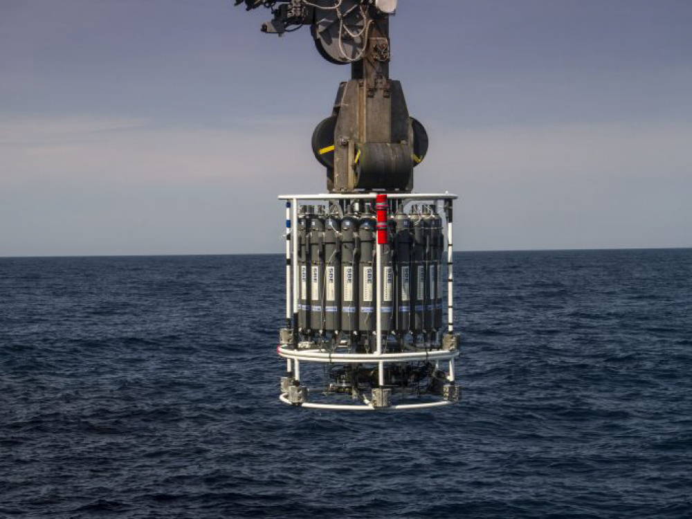
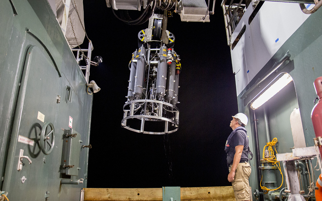
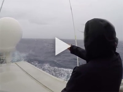
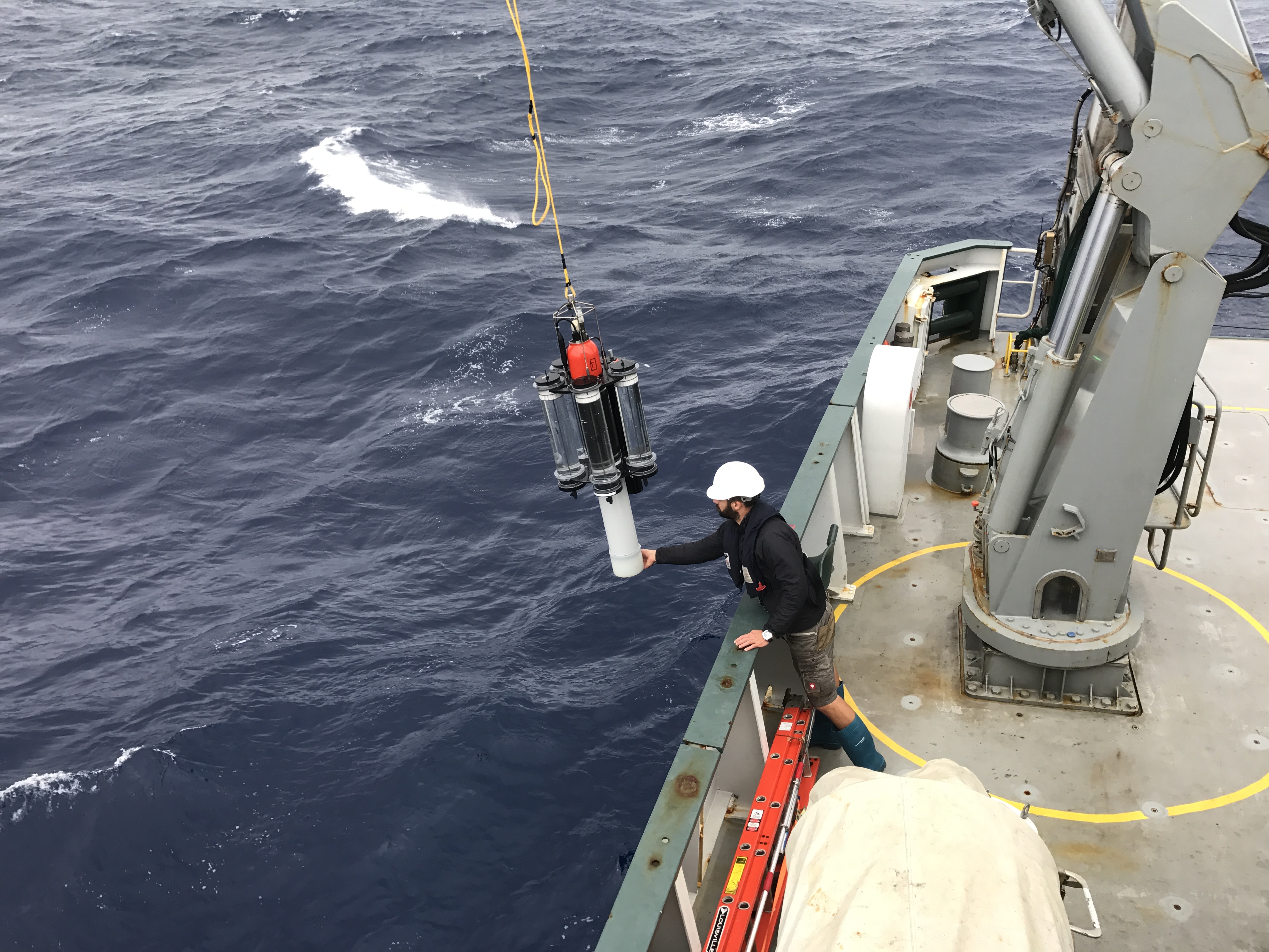
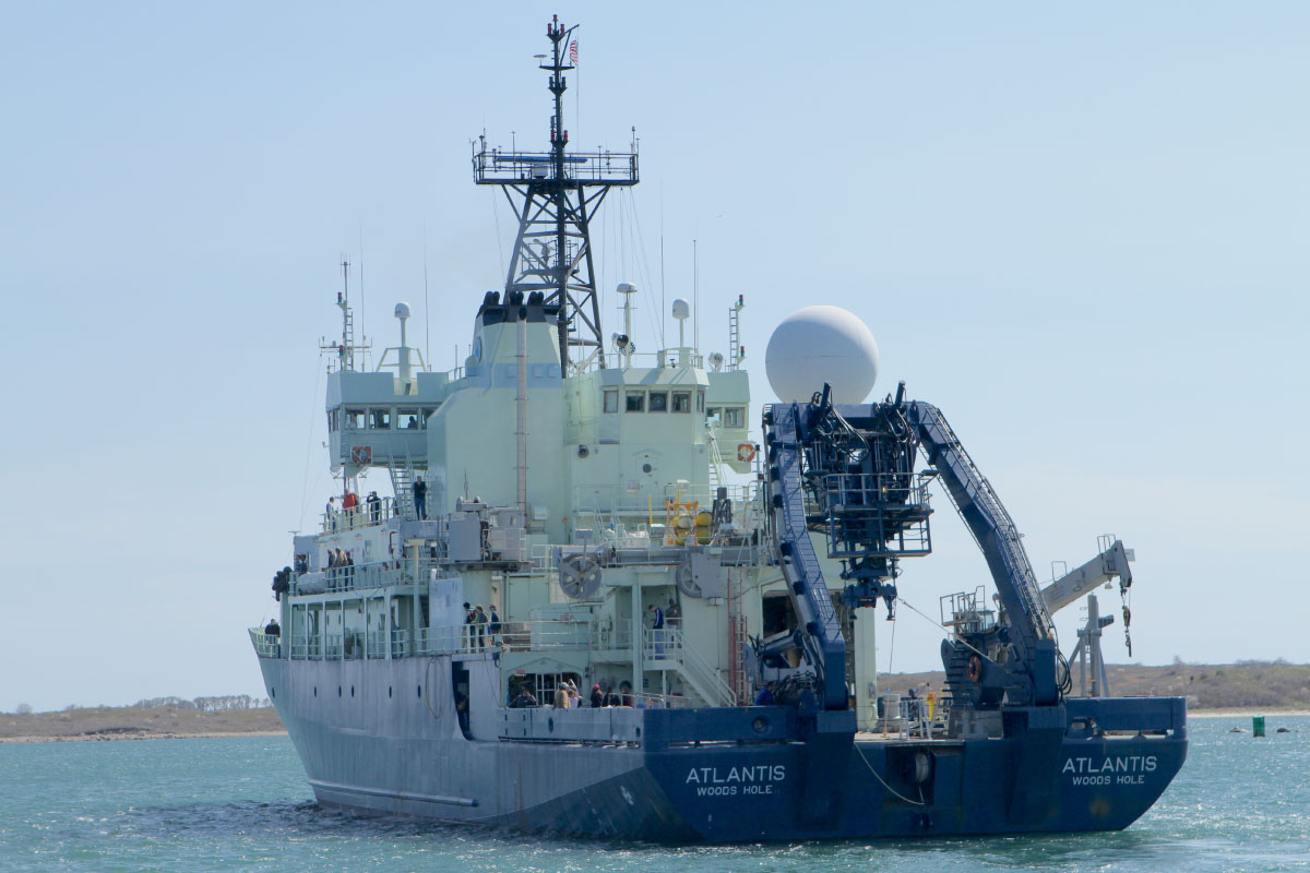
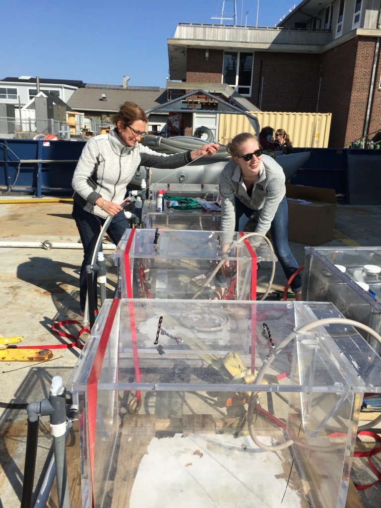
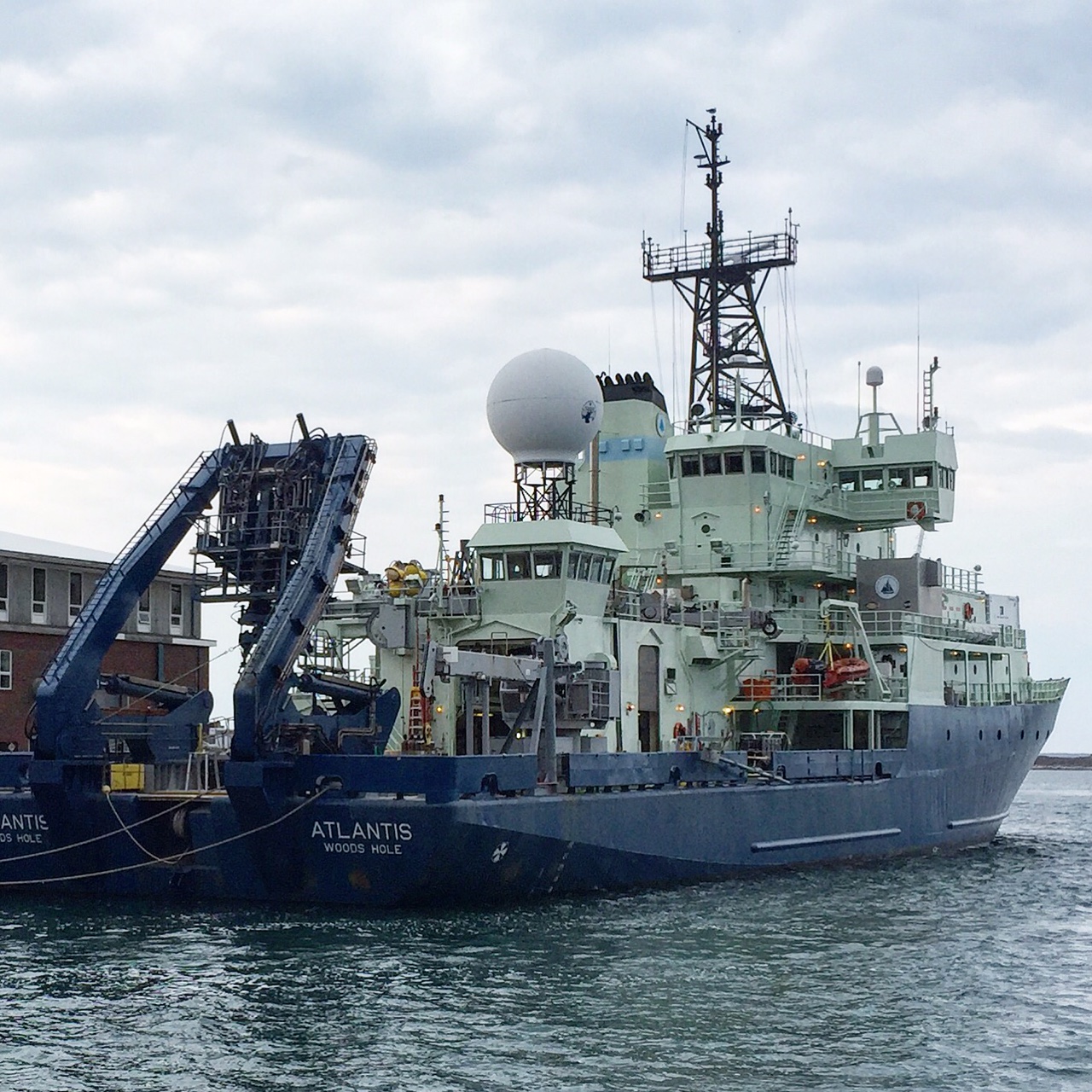
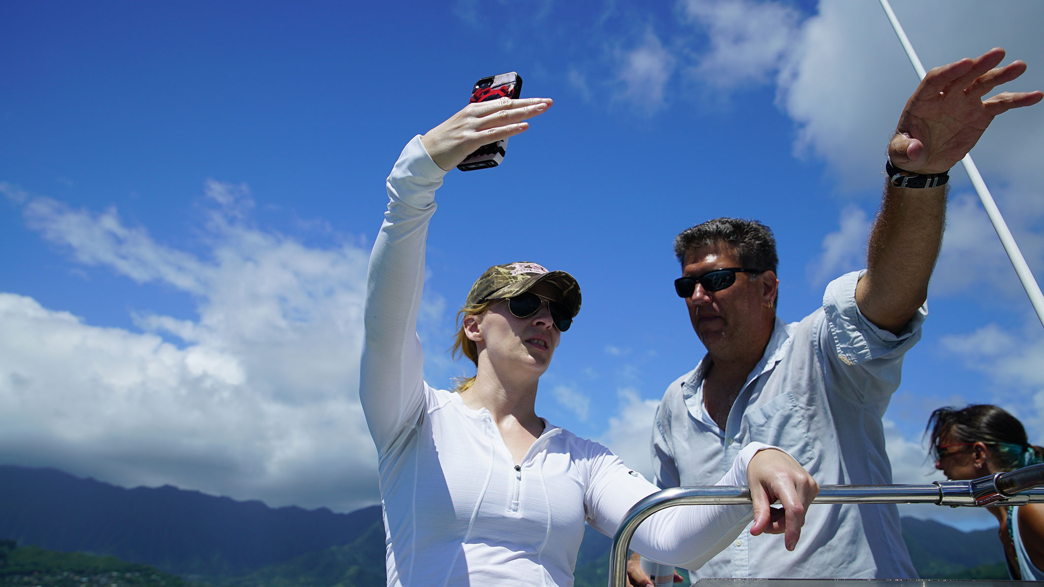
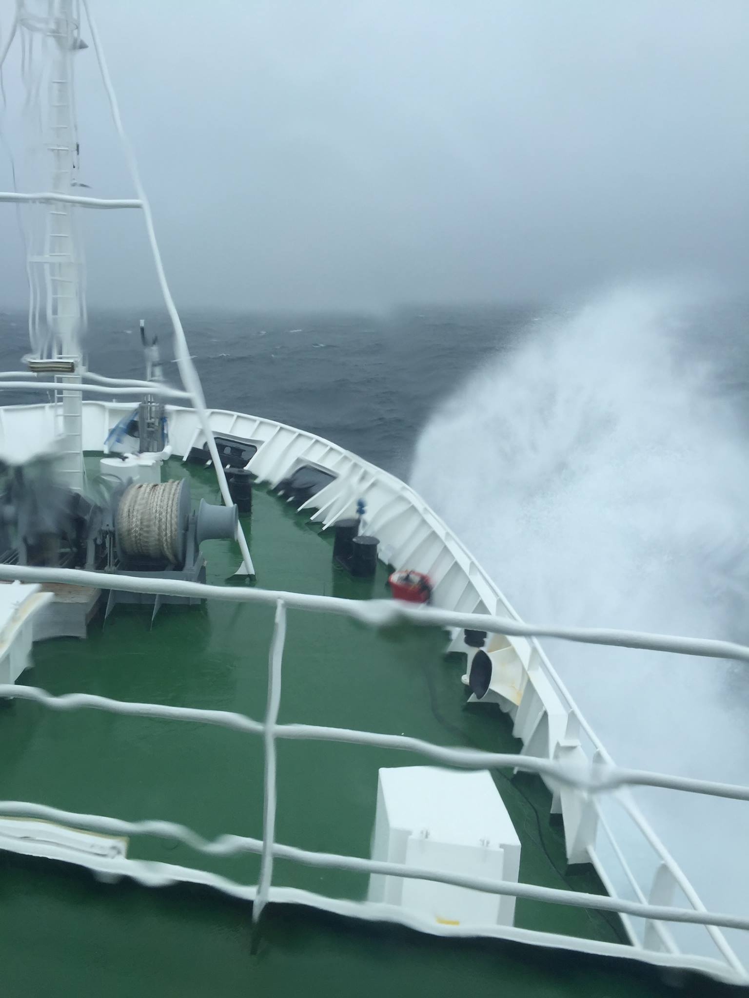
To validate PACE data products, scientists onboard the R/V Thompson ventured the into Bay of Bengal during spring 2024. As part of the EKAMSAT initiative, NASA and the Indian Space Research Organisation collected optical measurements and water samples to support ocean observations for their missions, PACE and Oceansat-3. Participating calibration / validation teams hailed from NASA Goddard Space Flight Center (GSFC); Columbia University / Lamont-Doherty Earth Observatory (LDEO); Space Applications Centre; and Indian National Centre for Ocean Information Services. Measurement types included hyperspectral water-leaving radiances, hyperspectral absorption and scattering properties, phytoplankton community composition, chlorophyll-a, phytoplankton pigments, ocean particle size, particulate and dissolved carbon pools, ocean temperature, salinity and dissolved oxygen.Benefits for PACE
- Field activities such as these are critical to verify the accuracy of PACE data products and determine the uncertainties in the satellite values.
 />
/> />
/> />
/> />
/> />
/>
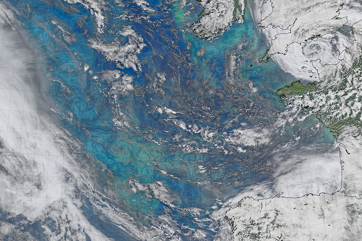
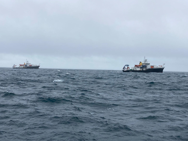
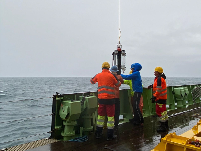
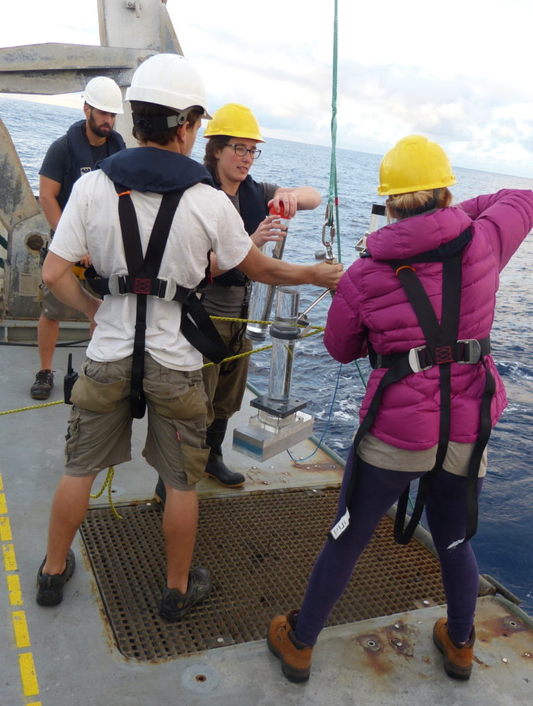
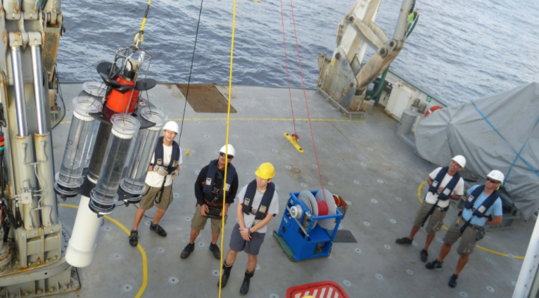
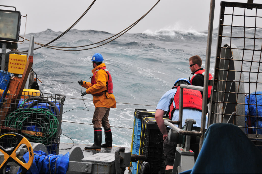
EXPORTS Cruise Dates:
- North Pacific: August 2018
- North Atlantic: Spring 2021
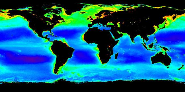
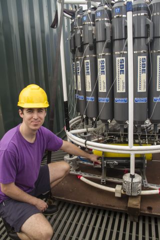
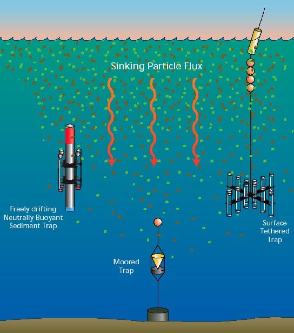
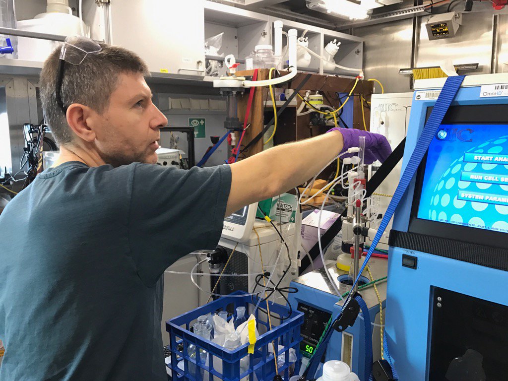
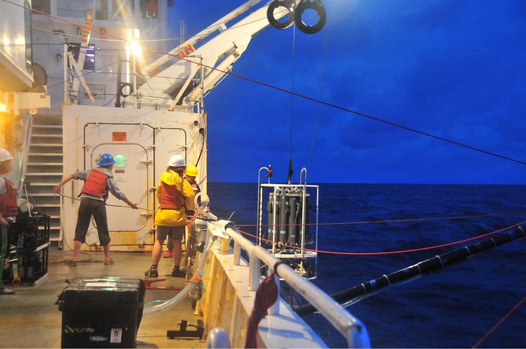
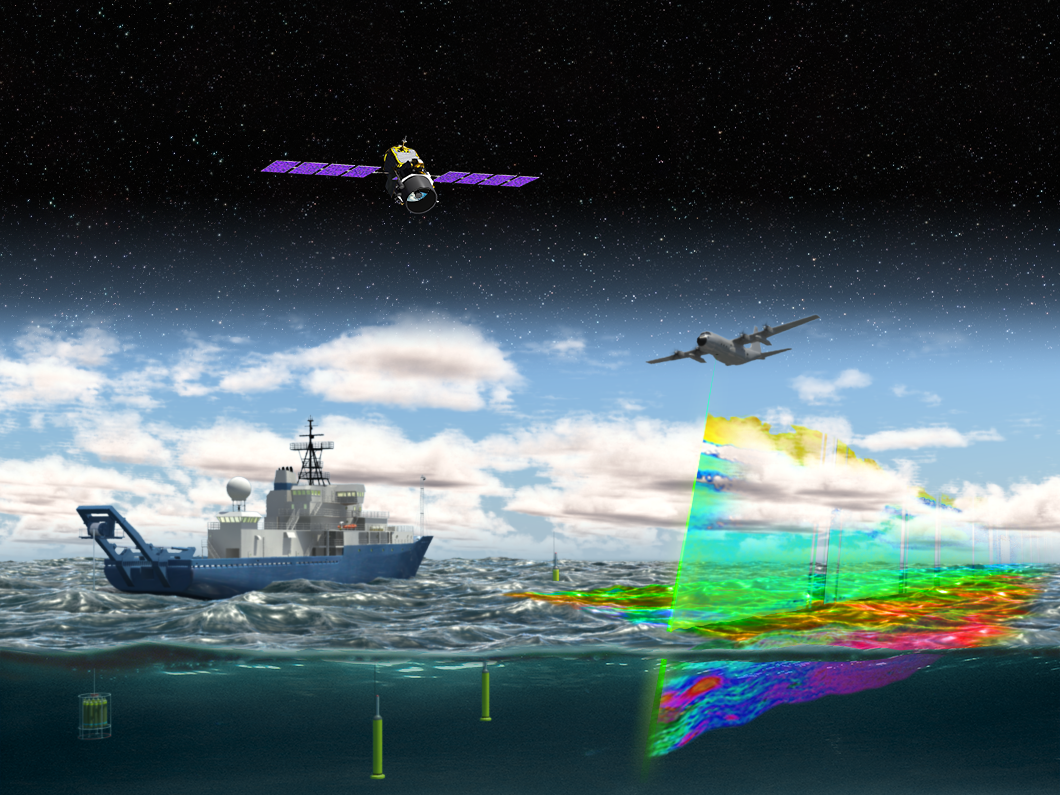
Export Processes in the Ocean from RemoTe Sensing (EXPORTS)
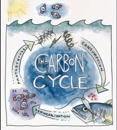
Phytoplankton play a major role in the transfer of carbon from the surface ocean. While some of the carbon taken in by plankton is consumed and recycled by other organisms, some may sink to the deep ocean. Understanding the pathways by which carbon is exported from the ocean surface is important, but can be difficult to observe. The goal of EXPORTS is to track the fate of ocean carbon and study its implications for Earth's carbon cycle. EXPORTS will use advanced ocean observing tools and satellite observations to build a more complete picture of these complex processes. The North Pacific cruise in August 2018 examined the sinking and export of phytoplankton. The North Atlantic cruise (Spring 2021) is investigating the roles of zooplankton, very small plankton (picoplankton), and bacteria in carbon export.Benefits for PACE
- EXPORTS is designed to advance the usefulness of NASA ocean color measurements to predict how changes in ocean primary production might impact the carbon cycle.
- EXPORTS will strengthen understanding of both the export of organic carbon in the upper ocean and its fate in the deeper "twilight zone."
- Data will be used to better understand export processes, with the goal of developing better remote sensing and modeling methods to observe carbon flow (e.g., from PACE observations).
Images from the Spring 2021 North Atlantic cruise. Images are sorted by date (newest to oldest, left to right).
 />
/> />
/> />
/> />
/> />
/> />
/> />
/> />
/> />
/> />
/> />
/> />
/> />
/>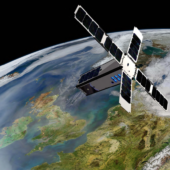
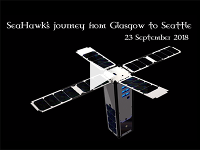
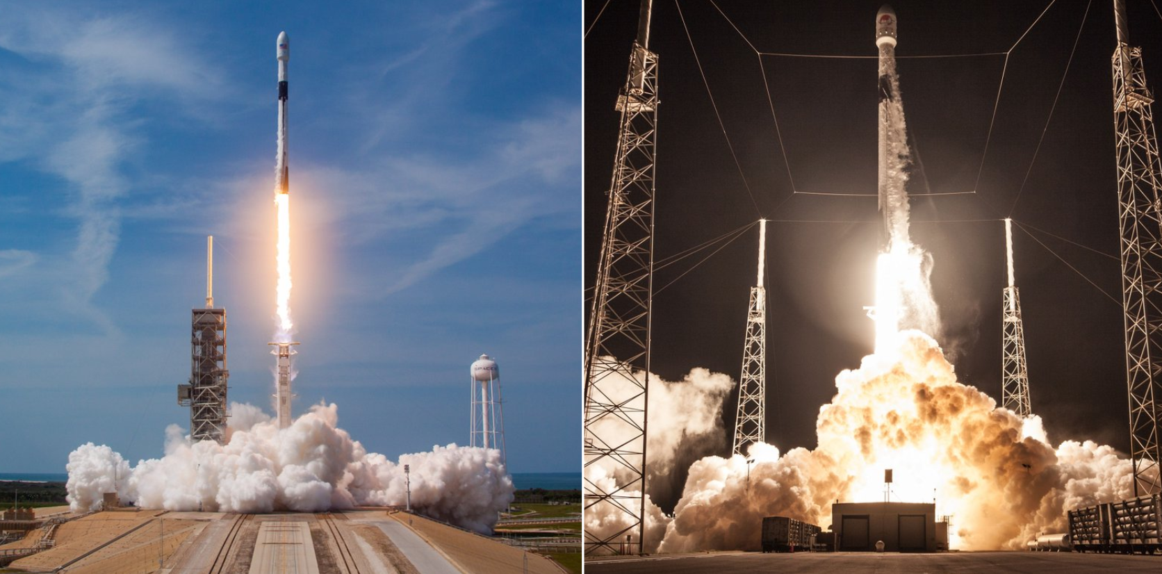
SeaHawk launch date:
- December 3, 2018
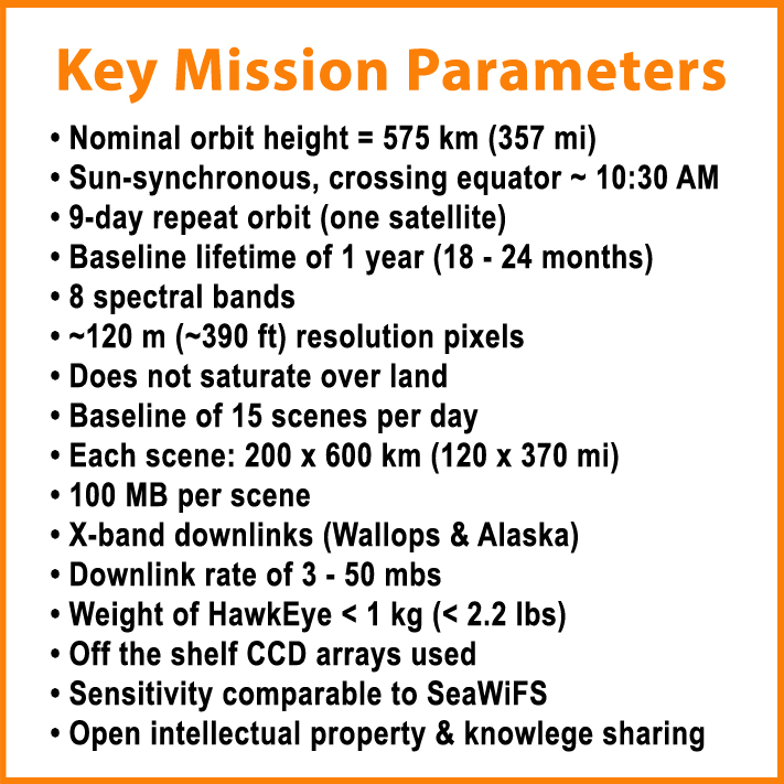
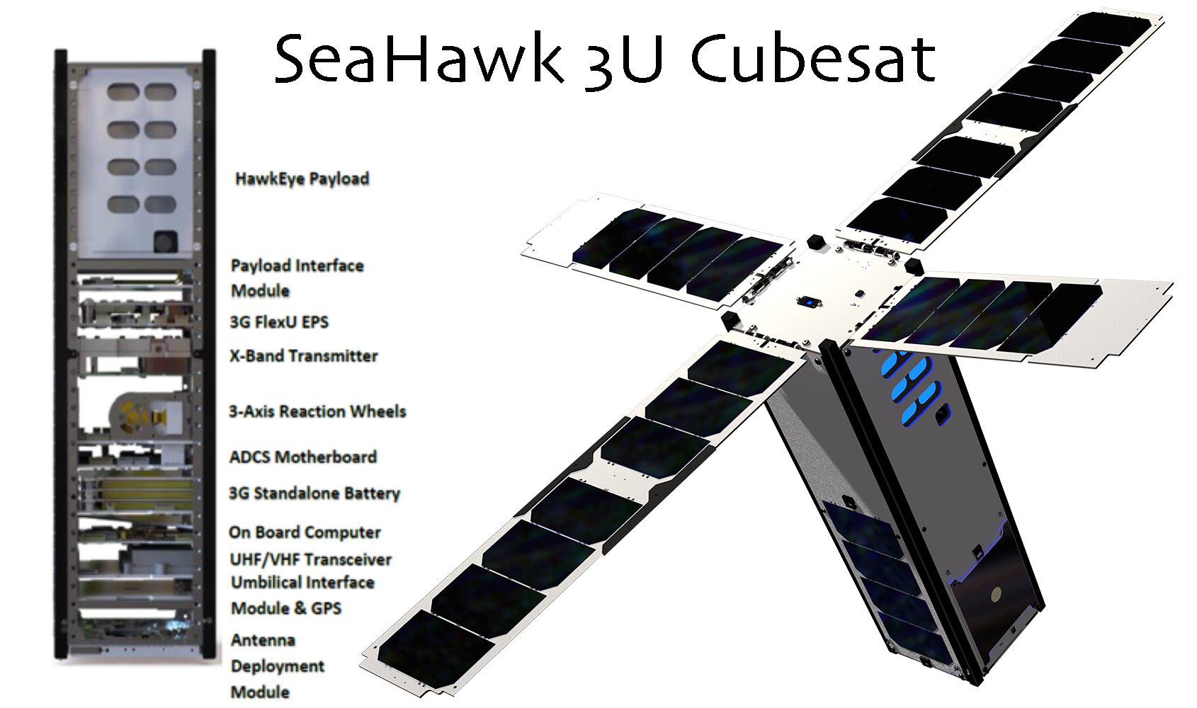
Sustained Ocean Color Observations using Nanosatellites (SOCON)
SOCON is a proof-of-concept project to demonstrate the capability to construct low-cost autonomous nanosatellites – a.k.a. CubeSats – capable of producing high-resolution ocean color imagery. Its first spacecraft, SeaHawk, is only 10 cm x 10 cm x 30 cm (less than 4 in x 4 in x 12 in) in size and weighs less than 5 kg (11 lbs)! Funded by the Gordon and Betty Moore Foundation and led by University of North Carolina Wilmington, HawkEye data will be distributed through a free and open data distribution policy on NASA's OceanColor Web. In addition, SeaDAS software will be modified and made available for HawkEye image processing, display and analysis. SOCON's ultimate goal is to develop a constellation of SeaHawks that provide global measurements of ocean color. Such observations are essential to monitor the health of our living ocean and its ability to sustain important fisheries.Benefits for PACE
- HawkEye, the high spatial resolution multispectral ocean color sensor, will serve as a proxy for PACE's Ocean Color Instrument (OCI) during the OCI's development phase.
- PACE's instrument scheduling prototype is based on the SeaHawk/HawkEye (and NASA Aquarius) systems.
 />
/> />
/> />
/> />
/> />
/>
 />
/> />
/> />
/>
 />
/> />
/> />
/> />
/> />
/>
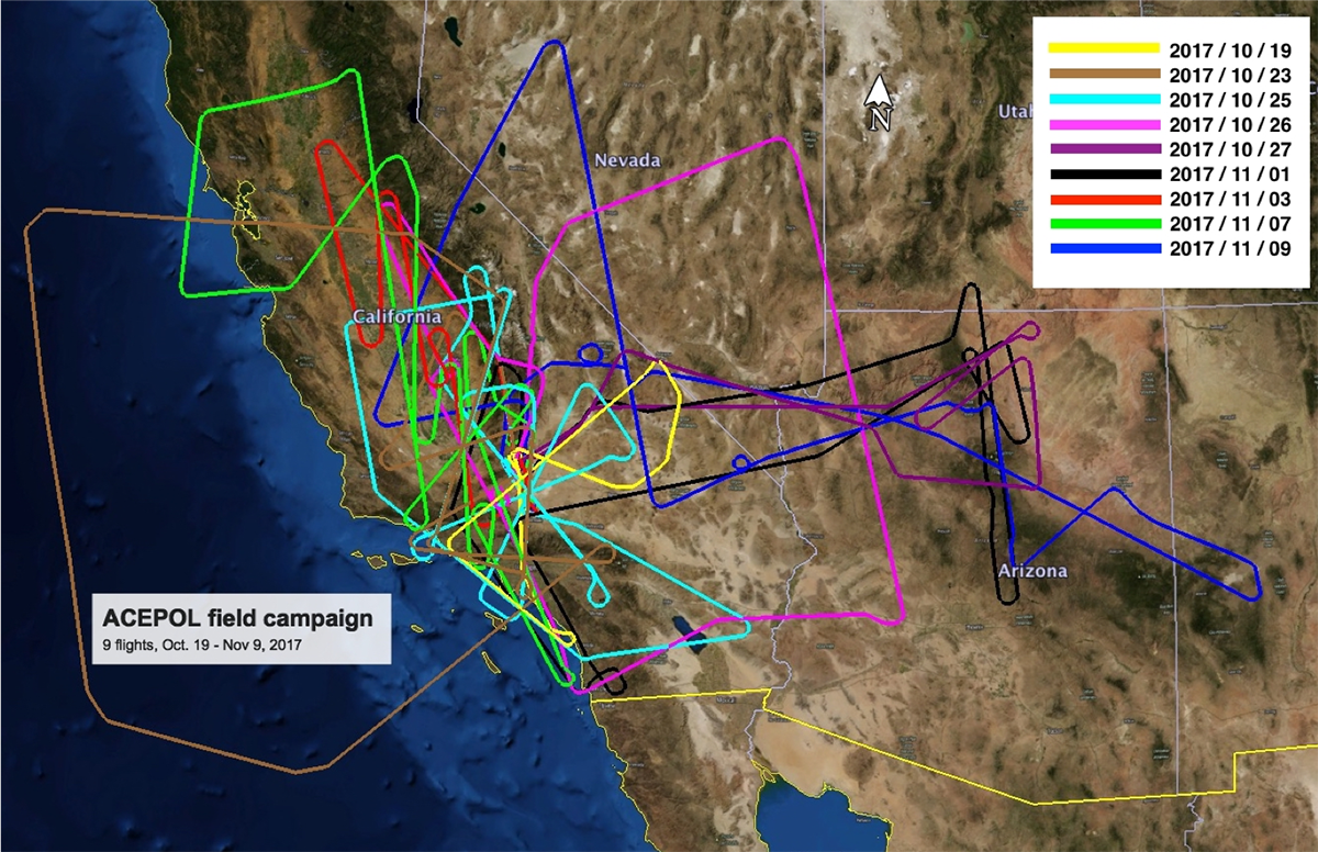
ACEPOL Flight dates:
- Oct 19-Nov 9, 2017
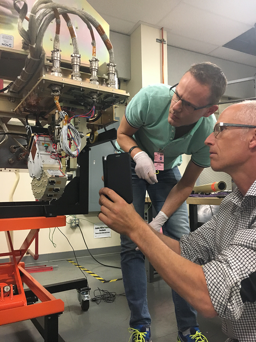
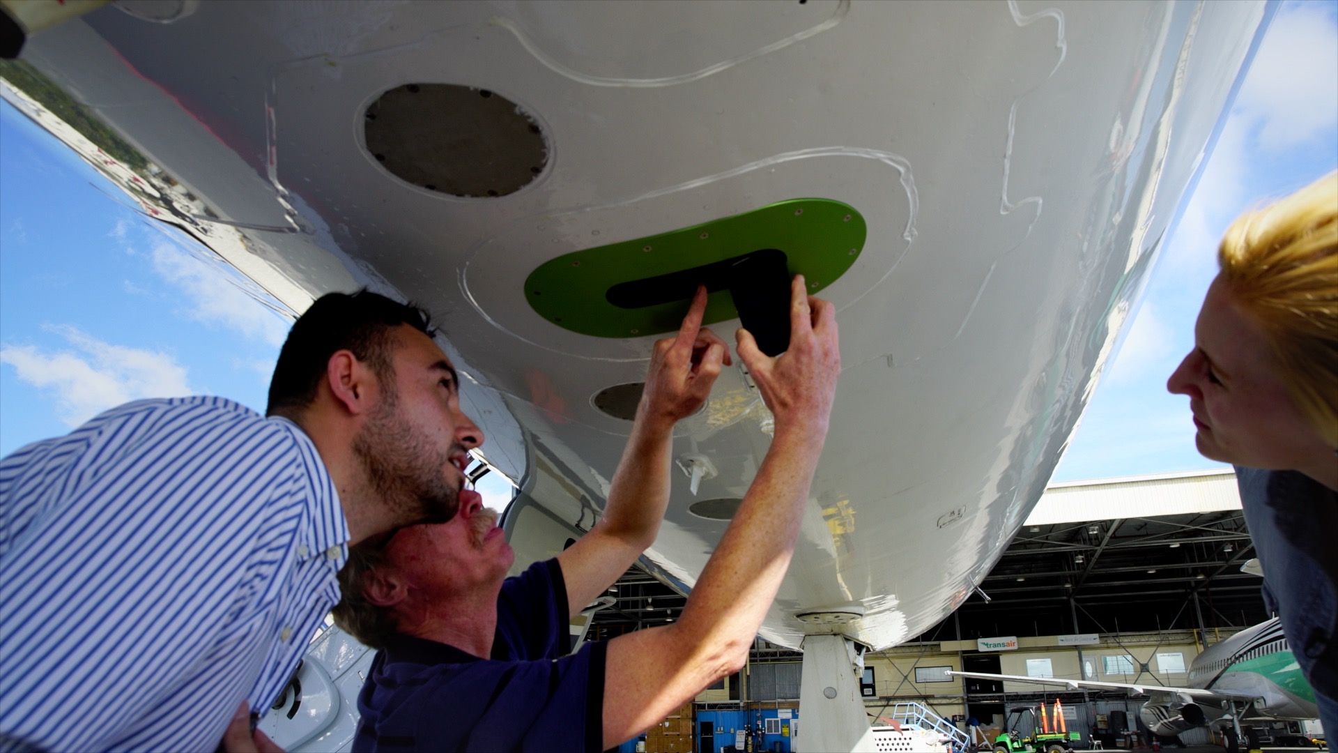
Aerosol Characterization from Polarimeter and Lidar (ACEPOL)
Four multi-angle polarimeters and two atmosphere profiling lidar instruments were deployed on NASA's high altitude ER-2 aircraft in late 2017 from the Armstrong Flight Research Center in Palmdale, California. A collaboration between NASA (ACE mission) and the Netherlands Institute for Space Research (SRON), ACEPOL targeted a wide variety of scene types in order to test and validate ocean, aerosol and cloud observations. ACEPOL also was supported by the CALIPSO mission for validation purposes. ACEPOL is particularly relevant for PACE because of the participation of airborne versions of the HARP2 and SPEXone instruments, and provides valuable data for algorithm development and instrument characterization.Benefits for PACE
- Airborne versions of HARP2 and SPEXone observed a variety of scenes, alongside other instruments created to accurately observe oceans, clouds and aerosols.
- Coordinated overflights were performed with ground observations, including a characterization of Rosamond Dry Lake and regular ocean and atmospheric measurements by the AERONET network of instruments.
ACEPOL consisted of nine flights between October 19th and November 9th, 2017. Instruments deployed on the ER-2 aircraft:
Multi-angle Polarimeters
- Airborne Hyper Angular Rainbow Polarimeter (AirHARP)
- Airborne Multiangle SpectroPolarimetric Imager (AirMSPI)
- Research Scanning Polarimeter (RSP)
- Spectro-Polarimeter for Planetary Exploration (SPEX) - Airborne
- Cloud Physics Lidar (CPL)
- High Spectral Resolution Lidar (HSRL-2)
- Column Aerosol ground observations from AERONET and MPLnet
- Rosamond Dry Lake surface characterization (October 25th)
 />
/> />
/> />
/> />
/> />
/> />
/> />
/> />
/> />
/> />
/> />
/>
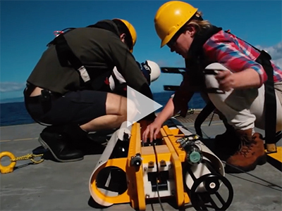
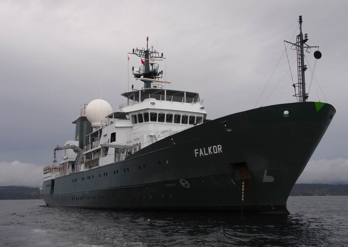
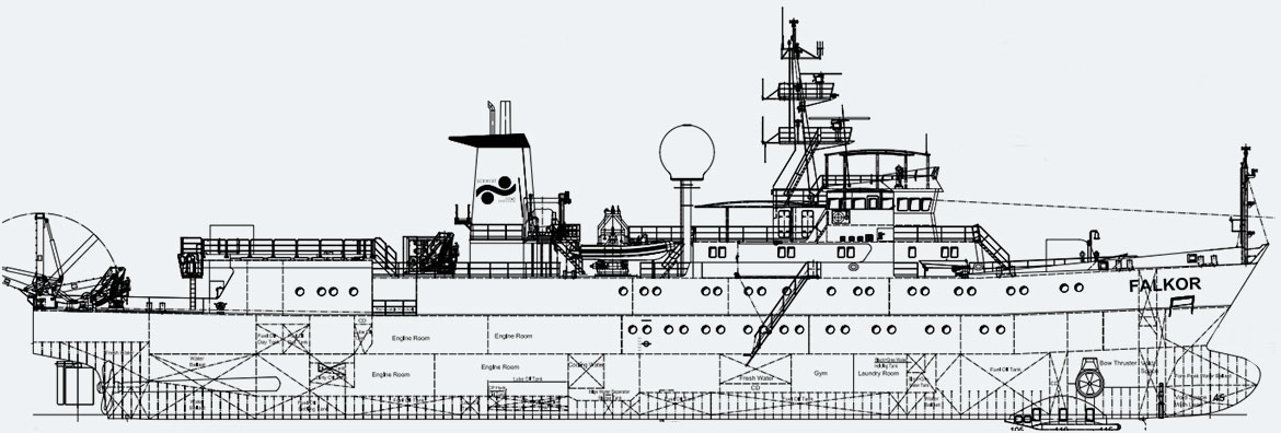
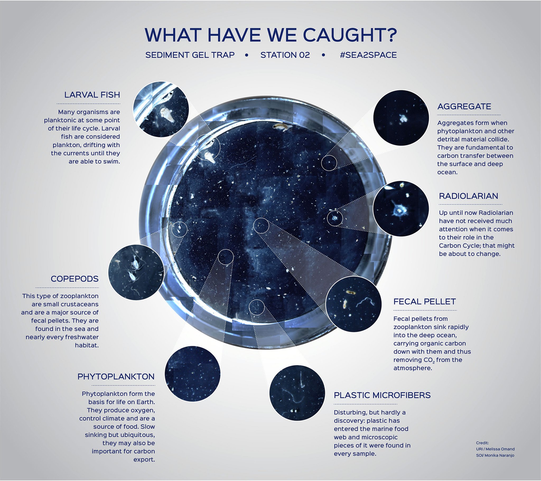
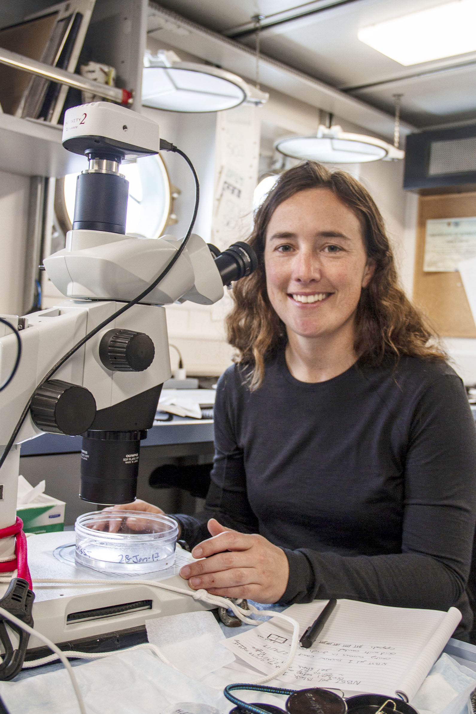
Sea to Space Particle Investigation Cruise Dates:
- Jan 24-Feb 20, 2017
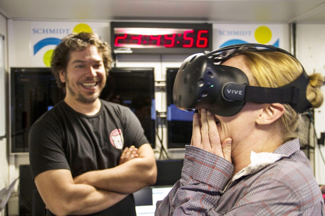
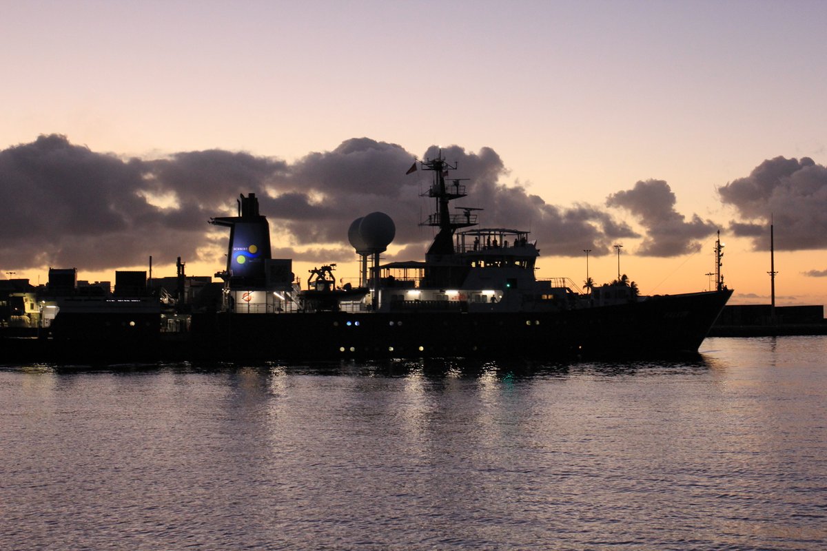
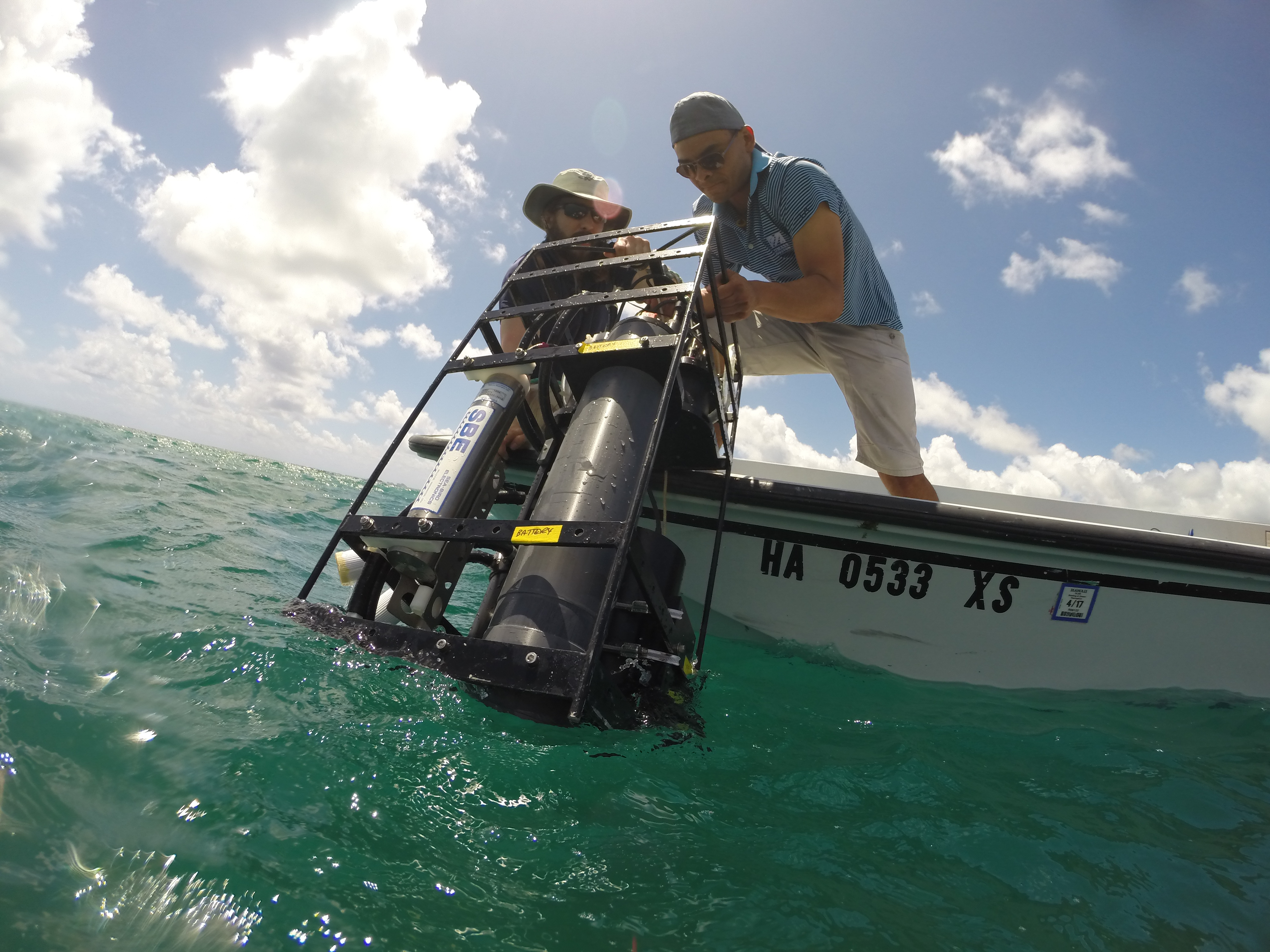
Sea to Space Particle Investigation
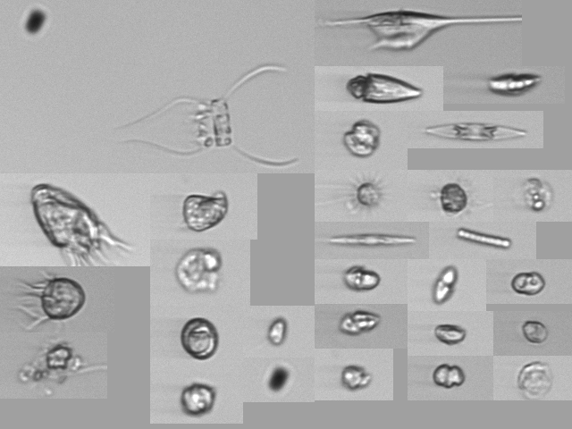
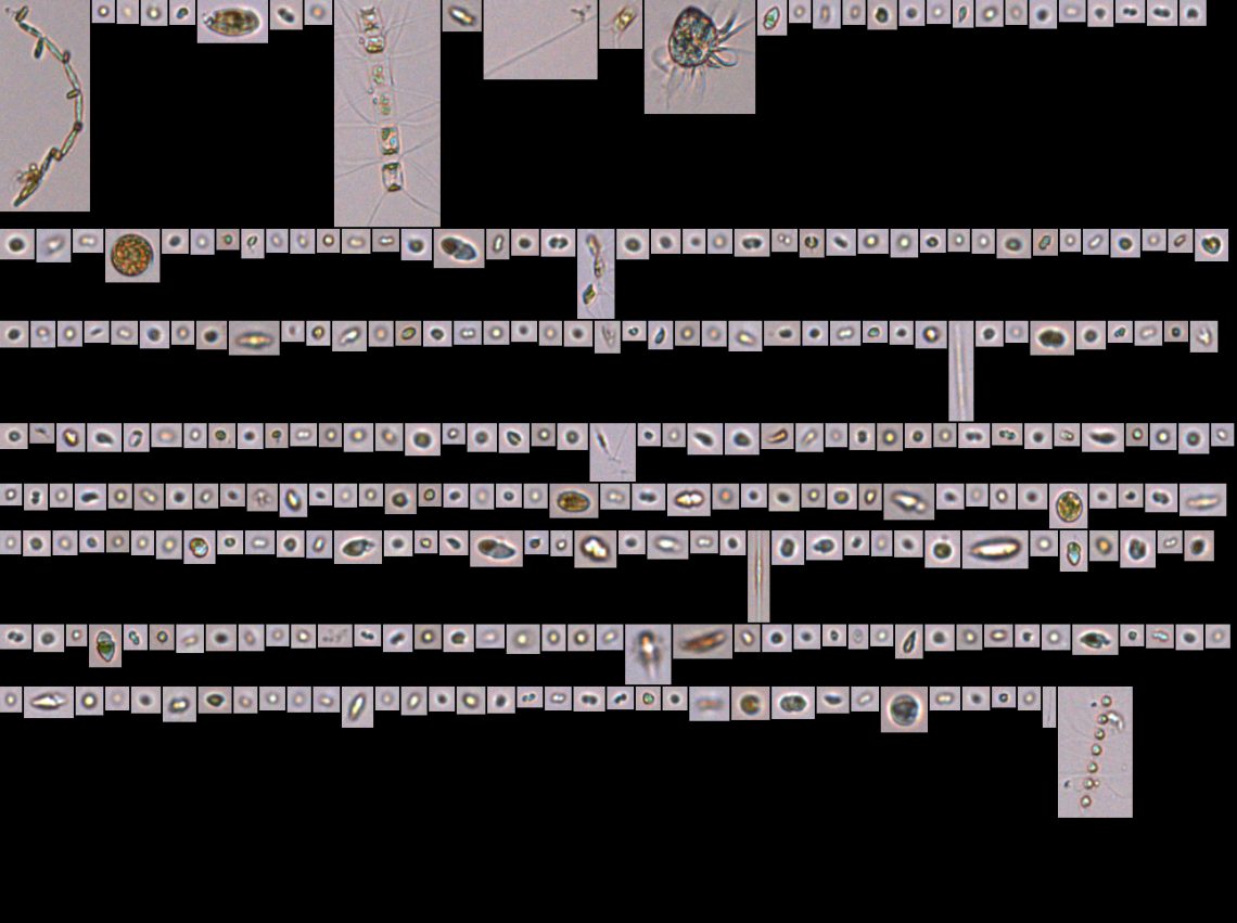
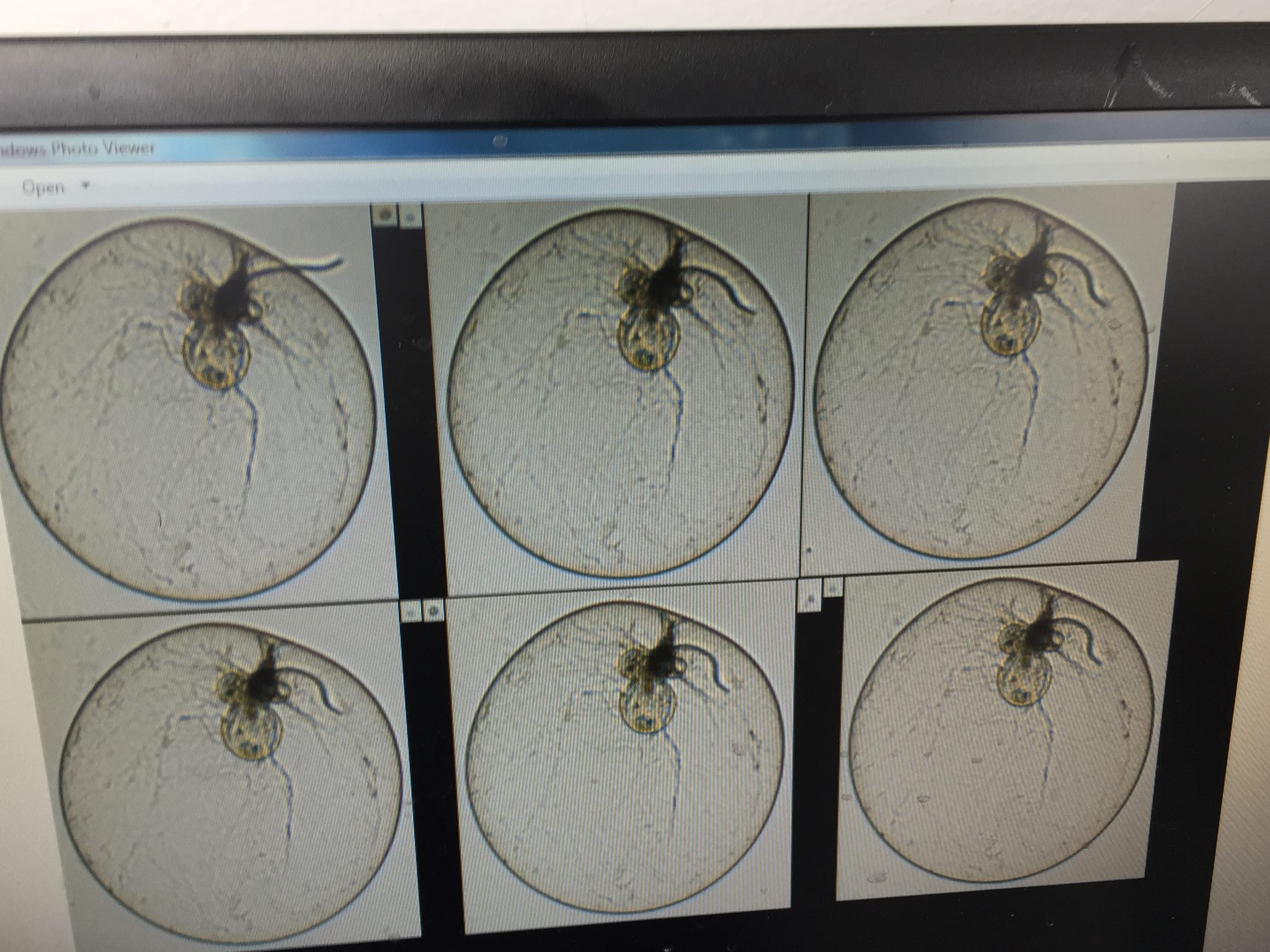
Distinct groups of oceanic phytoplankton play specific roles in the marine carbon cycle, contributing to the functioning of the entire ocean ecosystem. One way in which these groups can be identified is by detecting their particle size distribution (PSD), which can be observed by satellite. The ability to readily differentiate these groups from one another via remote sensing – a major goal for the PACE mission - is challenging, but would allow researchers to develop algorithms to estimate phytoplankton community composition. Before this can occur, there is a crucial need for these PSD measurements to be validated by ground-truth datasets. In January, scientists from NASA Goddard Space Flight Center will collect data in collaboration with the Schmidt Ocean Institute on a month-long cruise in the Pacific aboard the R/V Falkor. The science team will test novel instrumentation, compare in situ measurements to satellite observations, and investigate the role of PSDs in the flux of carbon in the ocean.Benefits for PACE
- Includes above and in-water hyperspectral radiometry
- Calibration and validation of remote measurements of plankton particle size distribution
- Reduction of uncertainties in estimates of marine PSDs
- Improves definition of linkages between hyperspectral remote sensing, phytoplankton functional types and oceanic carbon cycle
 />
/>
 />
/> />
/> />
/> />
/> />
/> />
/> />
/> />
/>
 />
/> />
/> />
/> />
/> />
/>
 />
/> />
/> />
/> />
/> />
/> />
/> />
/> />
/> />
/> />
/> />
/> />
/> />
/> />
/> />
/> />
/> />
/> />
/> />
/> />
/> />
/> />
/> />
/> />
/> />
/> />
/> />
/> />
/> />
/> />
/>
 />
/> />
/> />
/> />
/>

 />
/>
NAAMES Cruise Dates:
- May 1-26, 2016
North Atlantic Aerosols and Marine Ecosystems Study (NAAMES)
NAAMES is a five-year investigation to resolve key processes controlling ocean system function, their influences on atmospheric aerosols and clouds and their implications for climate. Observations obtained during four targeted ship and aircraft measurement campaigns, combined with the continuous satellite and in situ ocean sensor records, will enable improved predictive capabilities of Earth system processes and will inform ocean management and assessment of ecosystem change.Benefits for PACE
- Aircraft will have similar instruments including hyperspectral radiometers and a polarimeter
- Advanced sea surface observations will be used to relate instrument-collected data to in-water biogeochemical conditions
- Full suite of instruments serves as a prototype for the PACE Mission payload
- Supports interdisciplinary efforts to understand open ocean phytoplankton blooms and their impact on fisheries
- Helps to define linkages between aerosols generated by marine biological organisms and ocean ecosystems
 />
/> />
/> />
/> />
/> />
/> />
/> />
/> />
/> />
/> />
/> />
/> />
/> />
/> />
/> />
/> />
/> />
/> />
/>
CORAL 2016 Dates:
NASA Earth Expeditions Blog
Five Things about CORAL
PRISM Brings Coral into Focus
- Hawaii: Jun 6-17
- Palau: Jul 4-22
- Mariana Islands: Jul 25-Aug 5
- Australia: Sep 1-Oct 31
- Hawaii: Nov
NASA Earth Expeditions Blog
Five Things about CORAL
PRISM Brings Coral into Focus
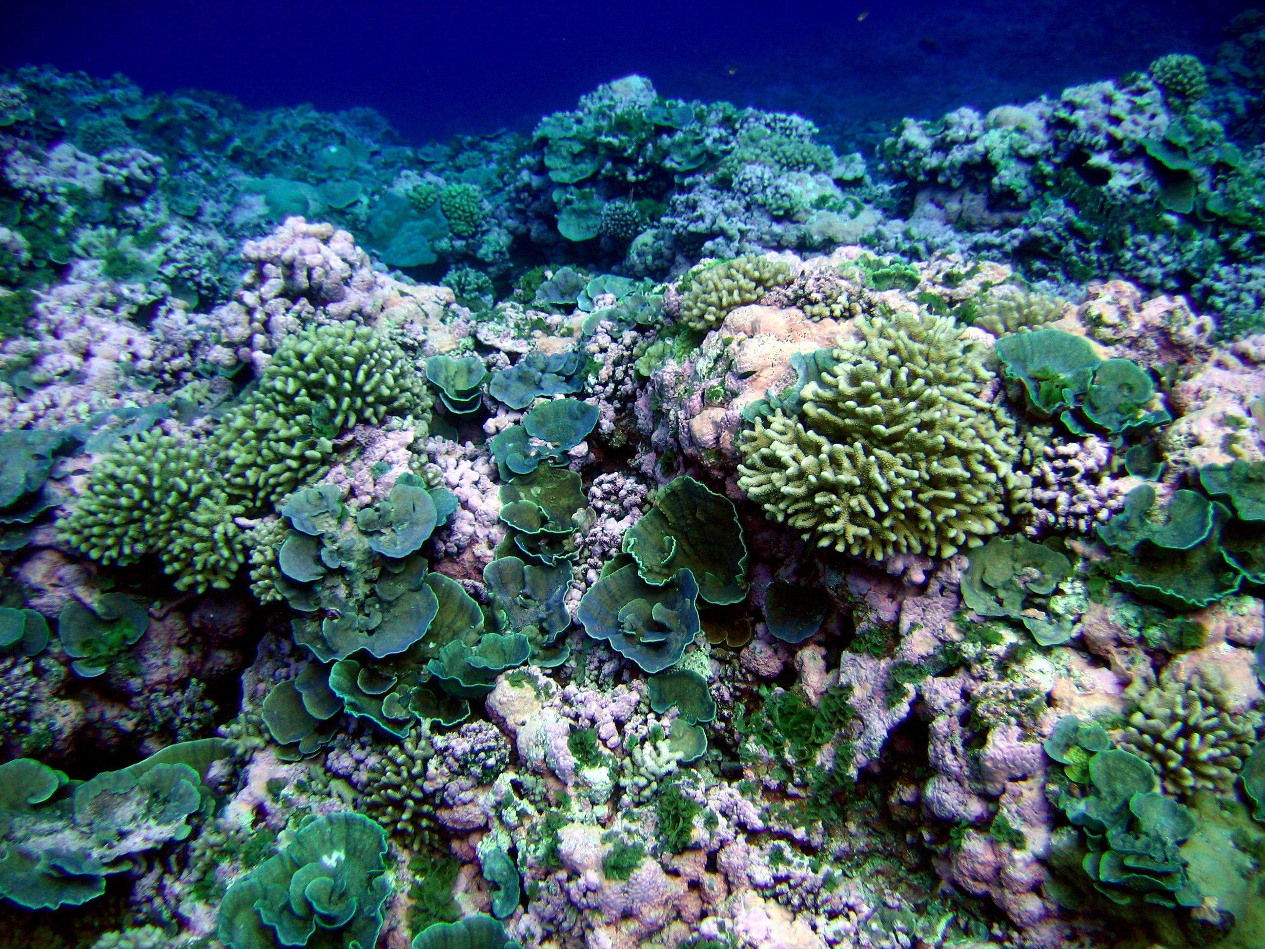
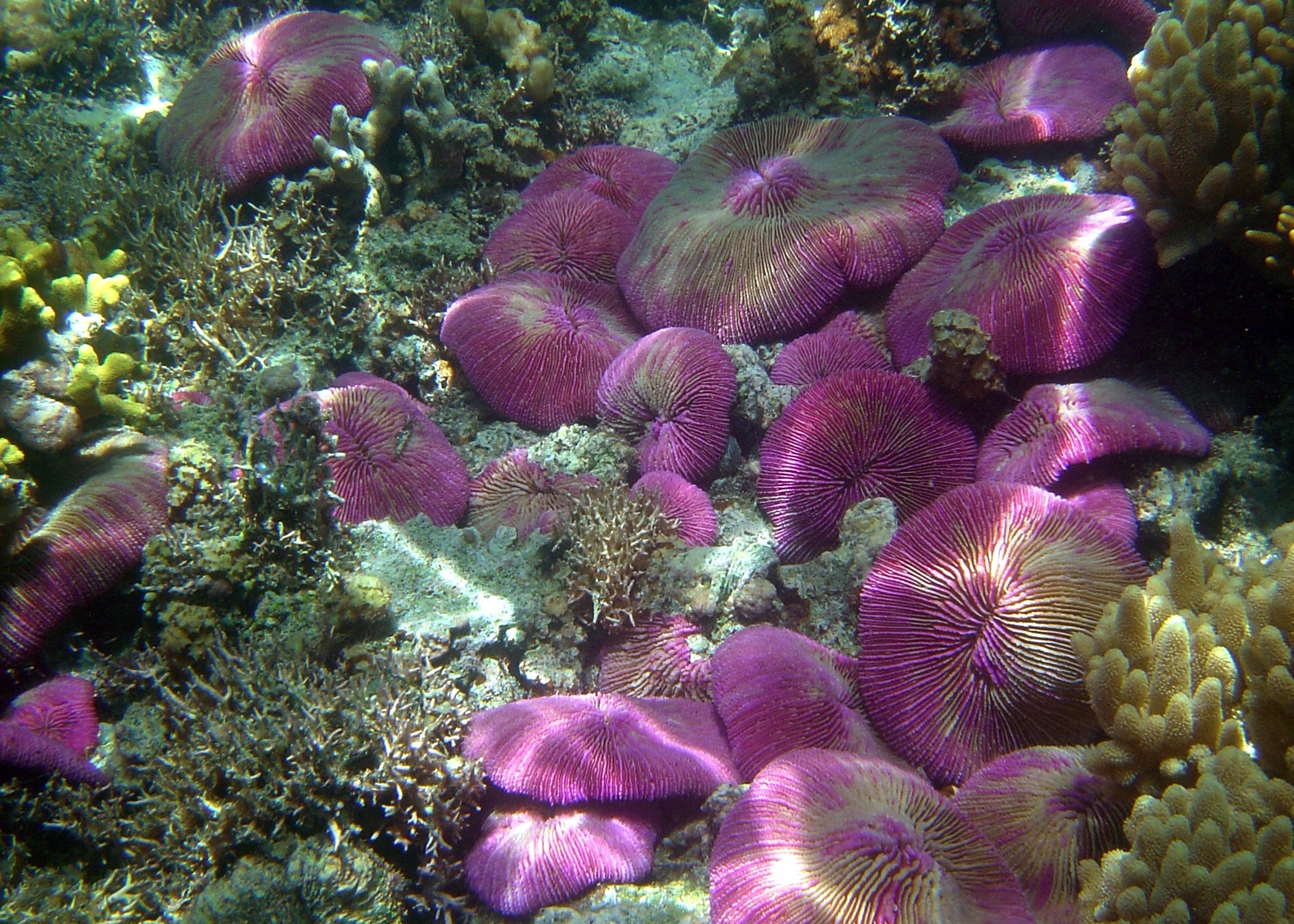
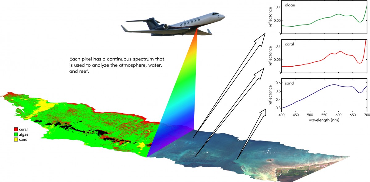
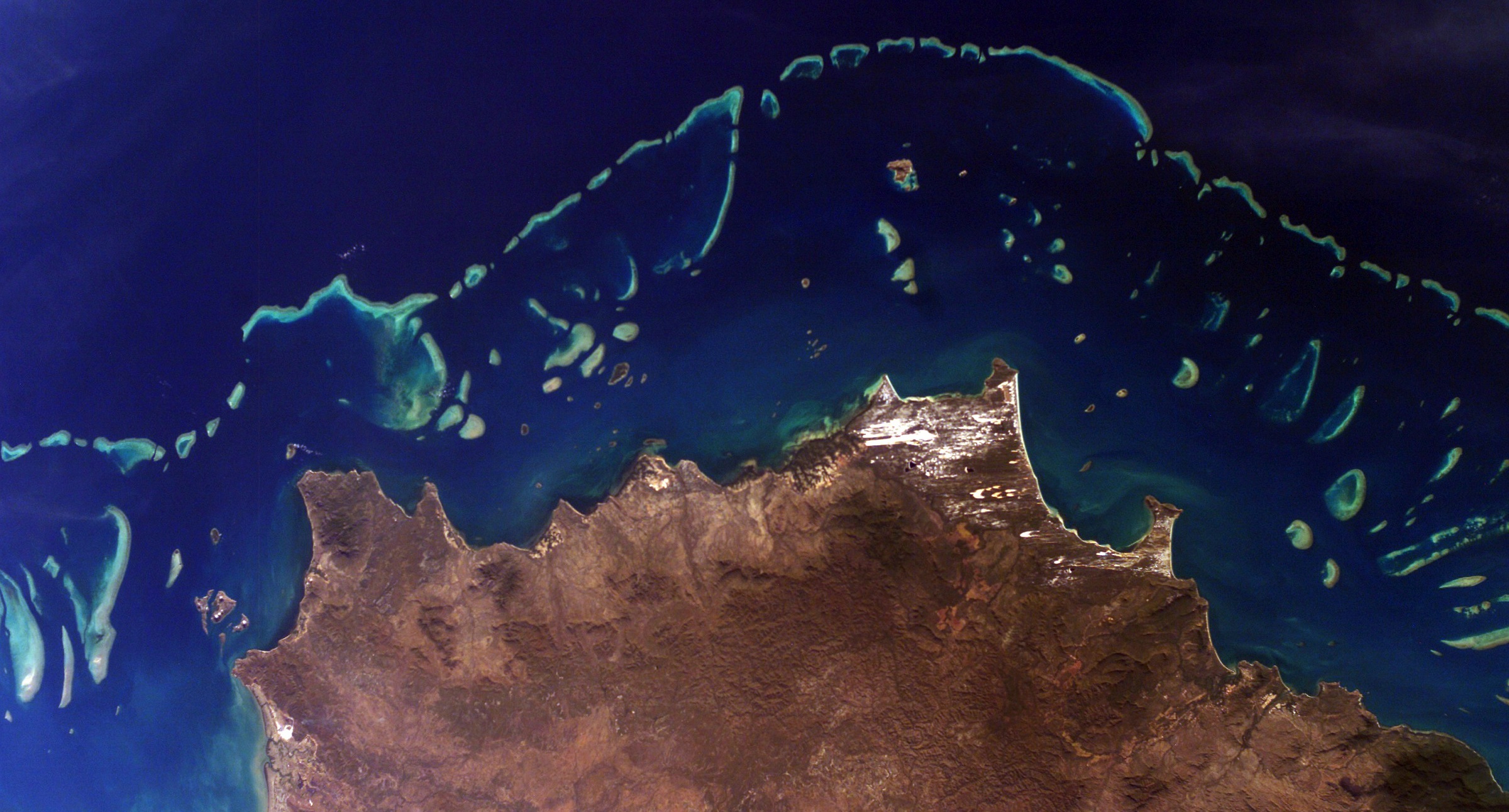
COral Reef Airborne Laboratory (CORAL)
The three-year CORAL mission will survey a portion of the world's coral reefs to assess the condition of these threatened ecosystems and understand their relation to the environment, including physical, chemical and human factors. CORAL will use advanced airborne instruments, including the Portable Remote Imaging Spectrometer (PRISM), and in-water measurements. The investigation will assess the reefs of Palau, the Mariana Islands, portions of Australia's Great Barrier Reef and Hawaii. With new understanding of reef condition, the future of this global ecosystem can be predicted.Benefits for PACE
- Airborne hyperspectral instrument, PRISM, will provide measurements similar to those planned for PACE
- CORAL data will be used to build a synthetic data set that will be used by PACE to test its algorithms
- Ancillary data collected by CORAL - such as optical properties and atmospheric correction - will also help to fine-tune PACE data processing techniques
 />
/> />
/> />
/> />
/> />
/> />
/> />
/> />
/> />
/> />
/> />
/> />
/> />
/>
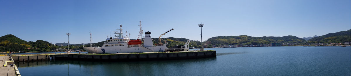
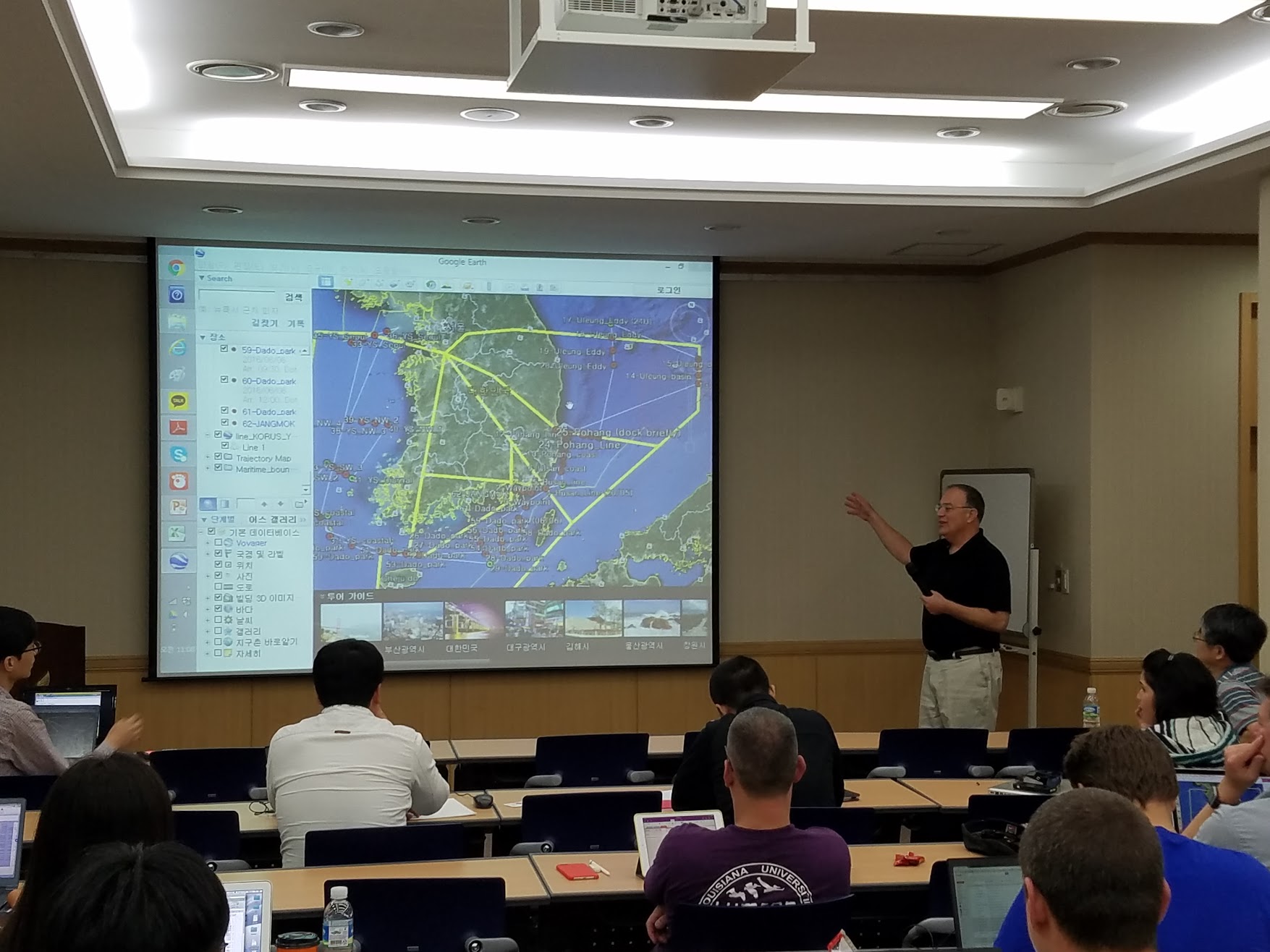
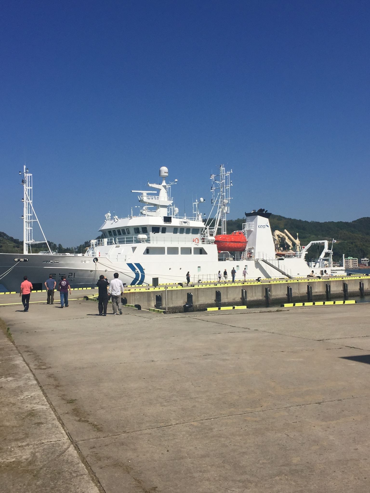
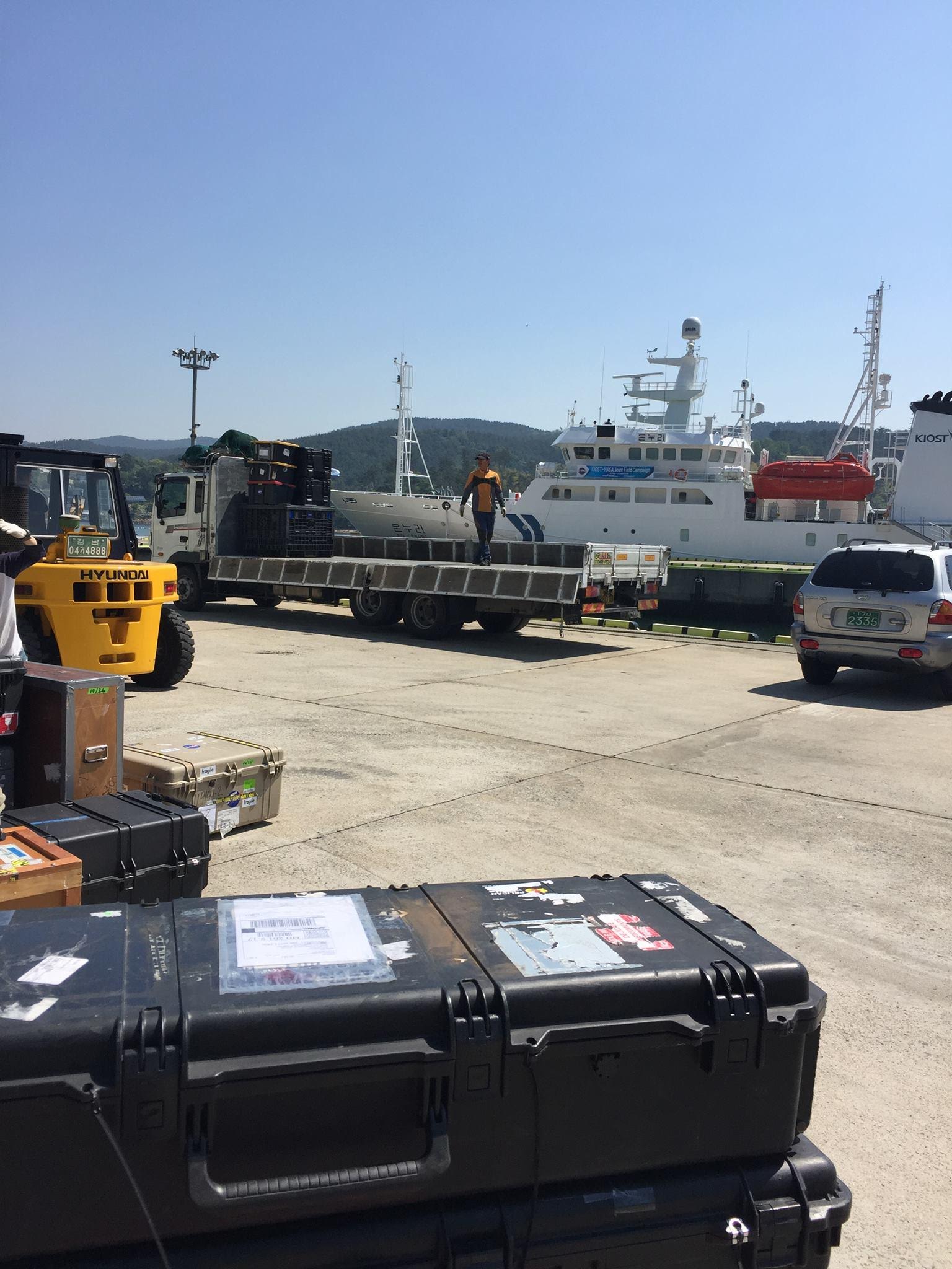
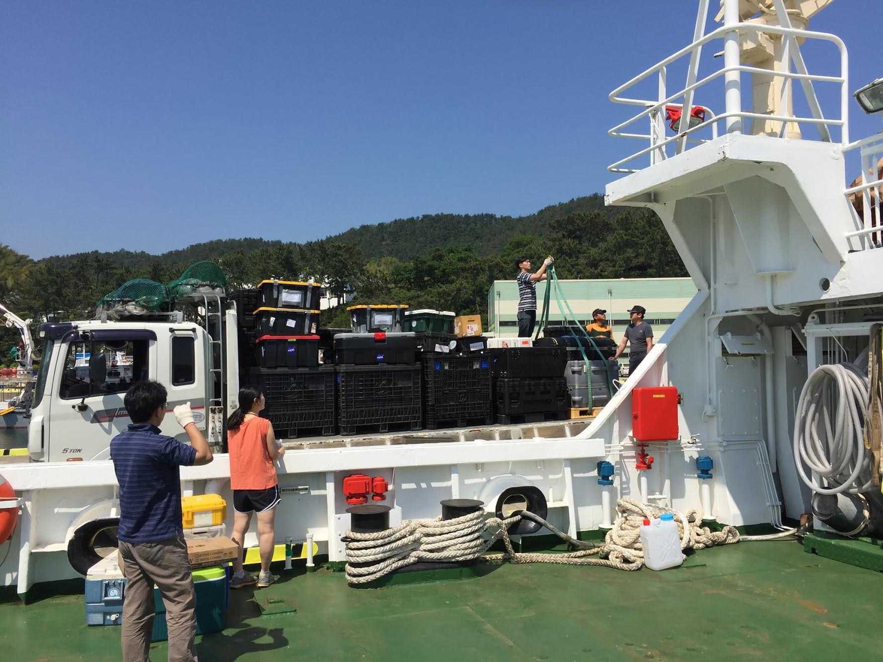
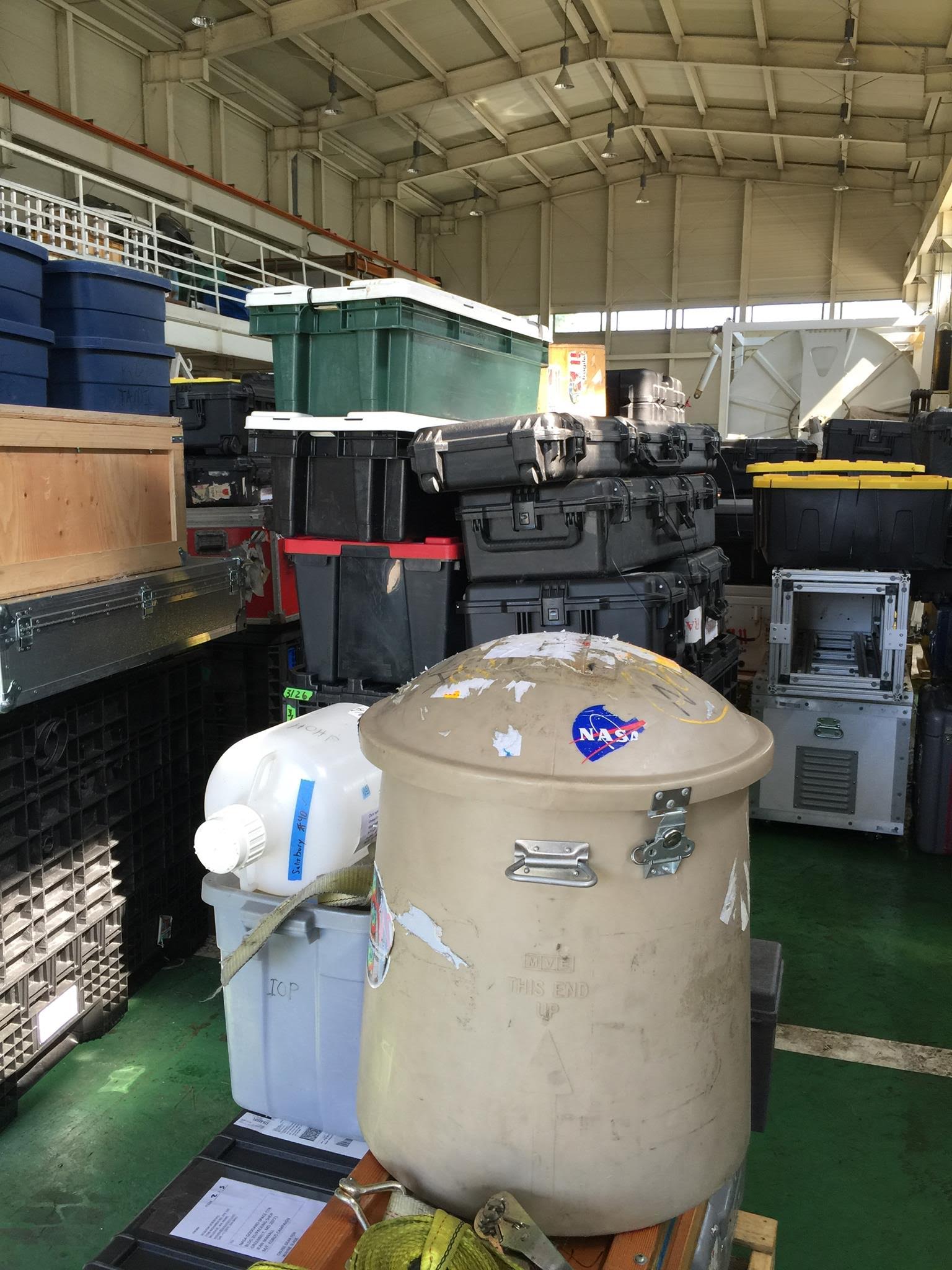
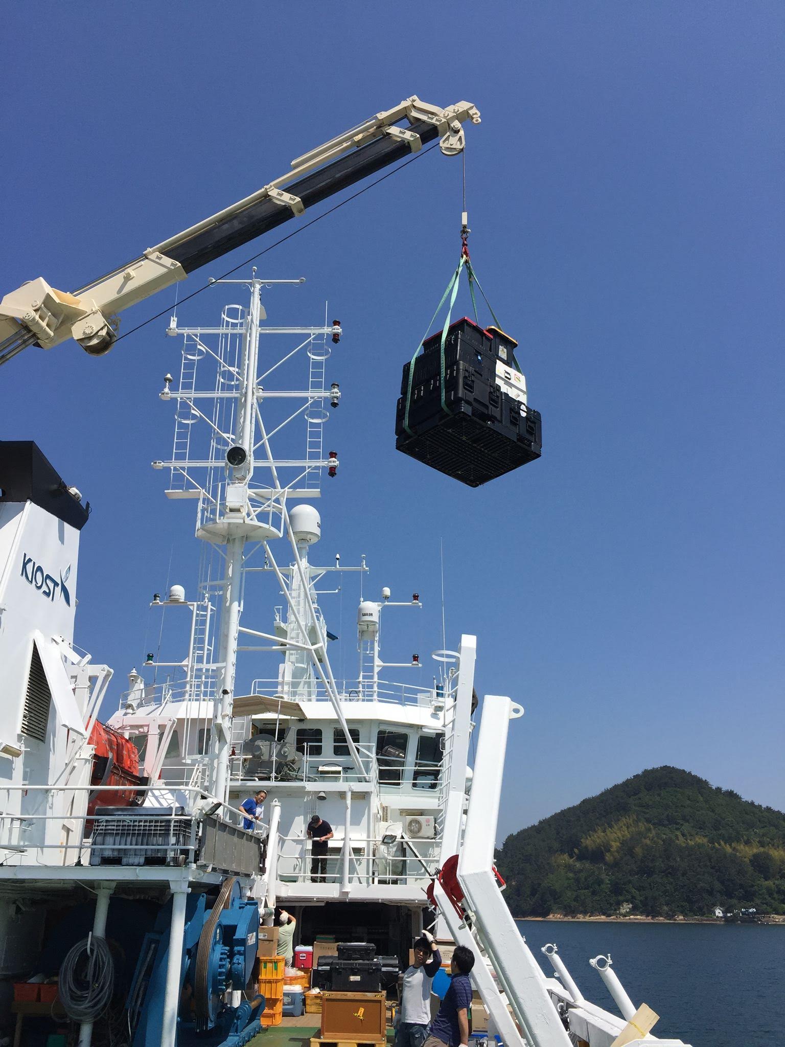
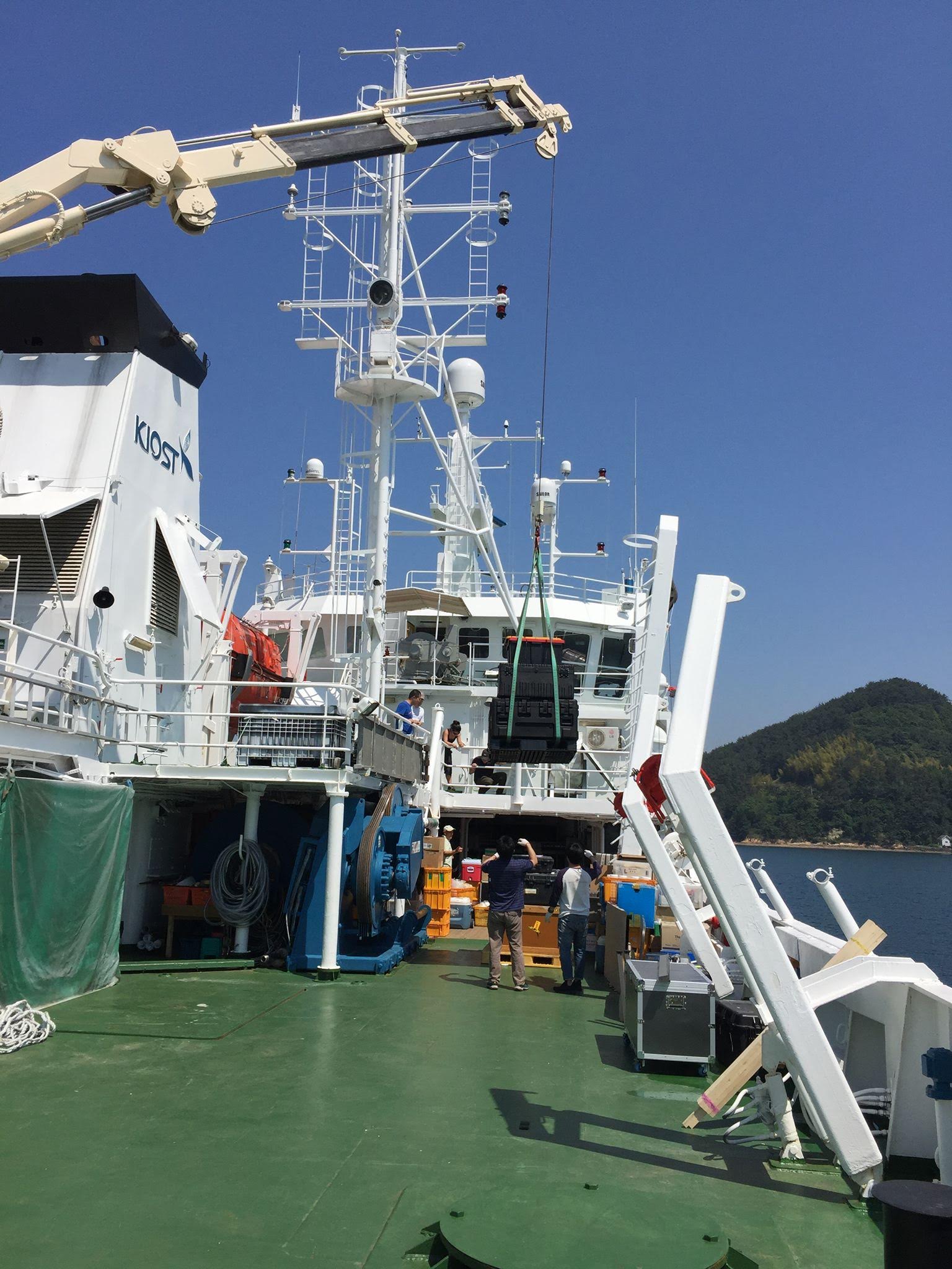
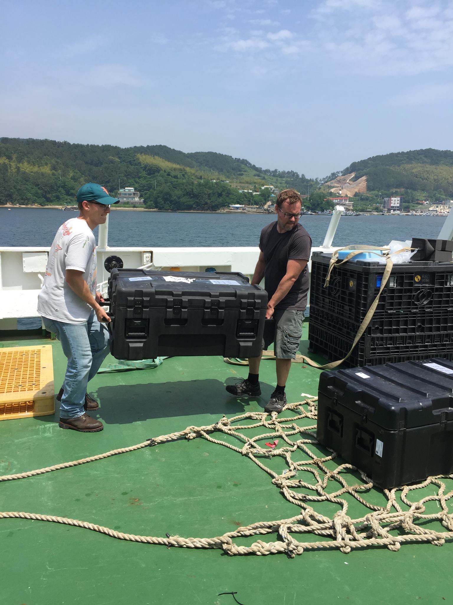
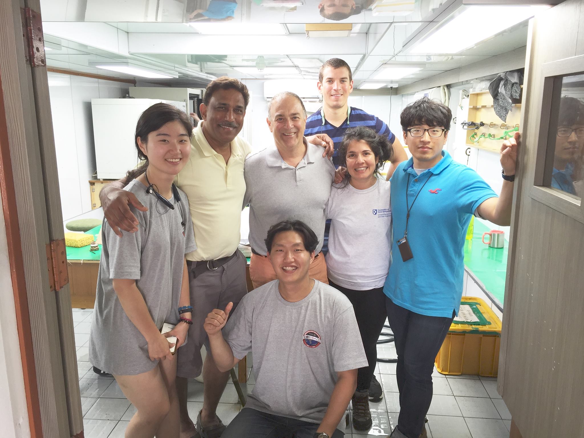
KORUS-OC Cruise Dates:
KORUS-OC Takes to the Seas
A Day in the East Korea Current
- May 20-June 6, 2016
KORUS-OC Takes to the Seas
A Day in the East Korea Current
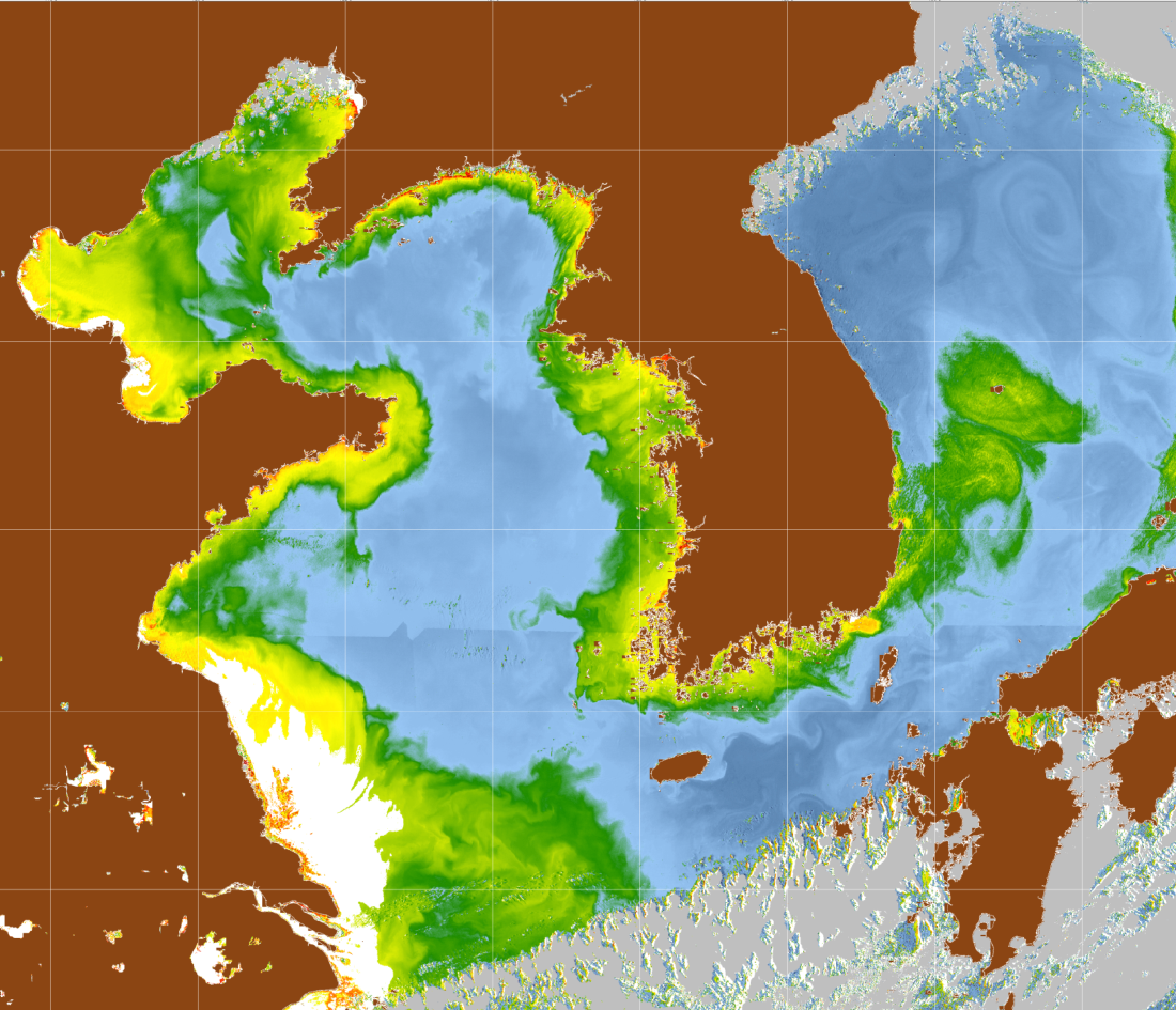
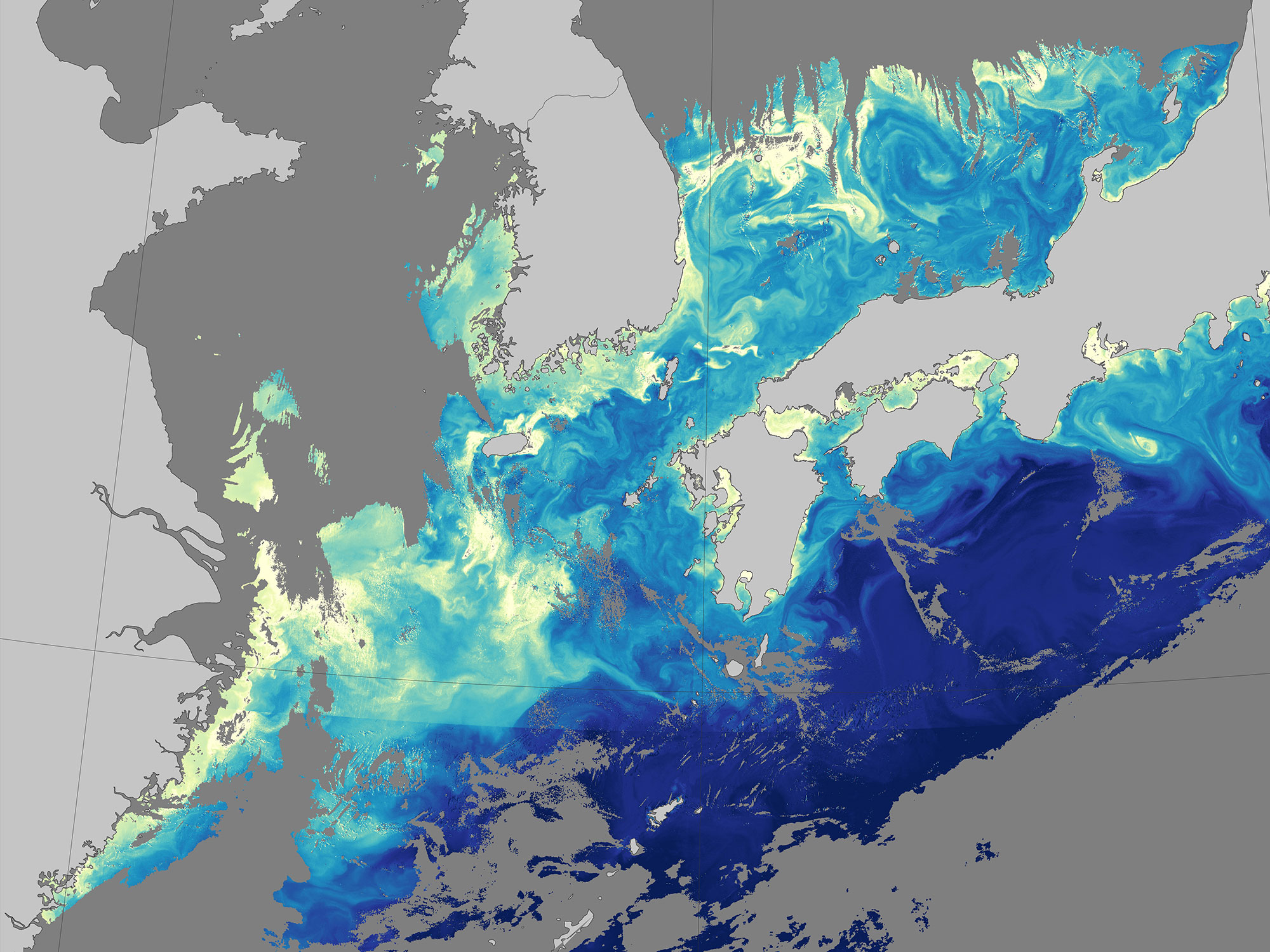
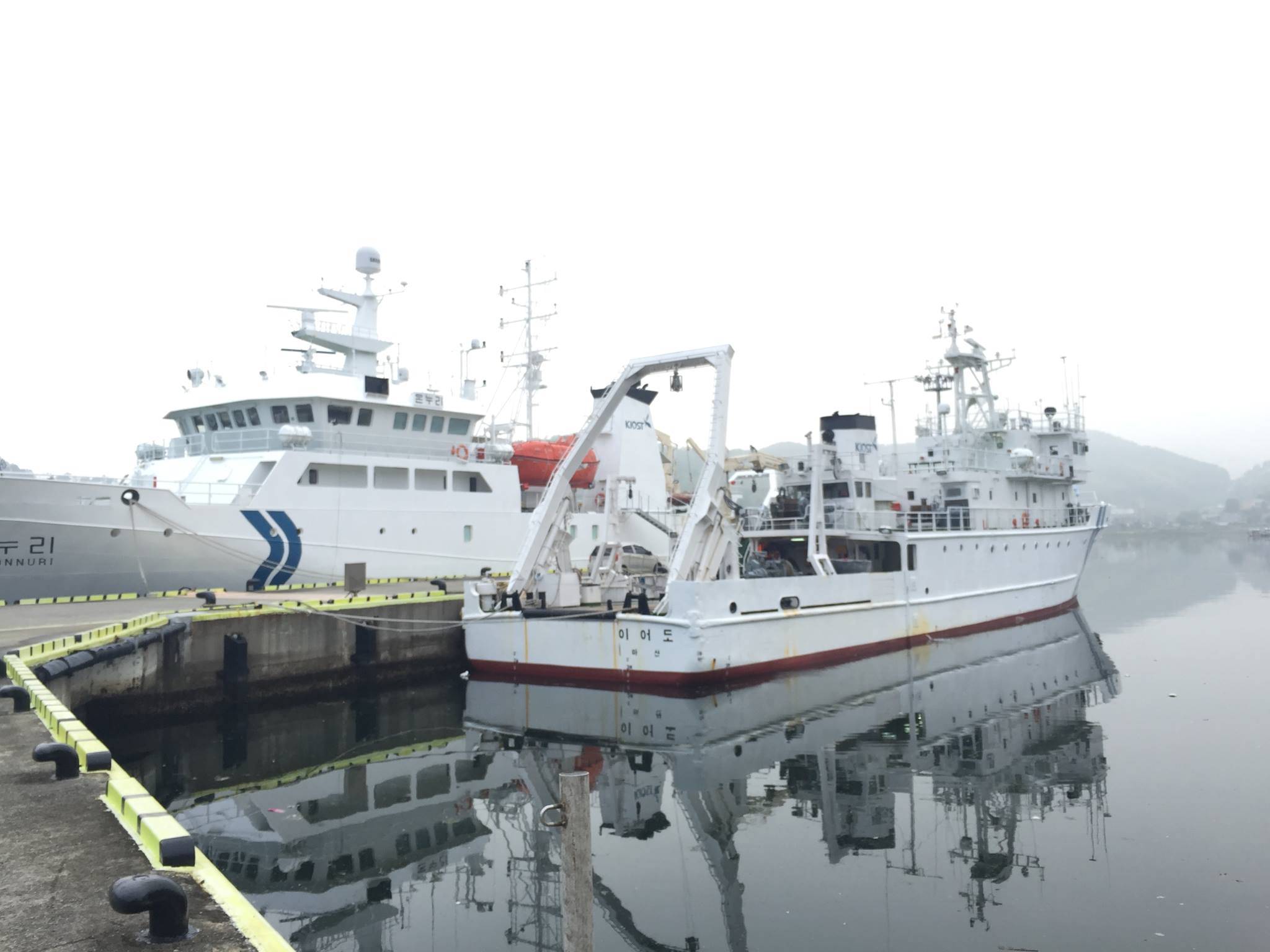
Korea - United States Ocean Color (KORUS-OC) Study
KORUS-OC is an oceanographic field study being conducted in conjunction with the air quality campaign, KORUS-AQ. Led by NASA and the Korean Institute of Ocean Science and Technology (KIOST), KORUS-OC will focus on the links between satellite- and ship-based measurements of ocean color, biology and biogeochemistry, as well as atmospheric composition in coastal waters adjacent to the Republic of Korea. KORUS-OC's hands-on training will build stronger ocean optics capabilites among participating scientists while providing oceanographic validation data for the Korean Geostationary Ocean Color Imager (GOCI) satellite.Benefits for PACE
- Airborne hyperspectral instruments that provide measurements similar to those planned for PACE
- Data will be used to infer how PACE data might be applied to better understand coastal biogeochemcial processes
 />
/> />
/> />
/> />
/> />
/> />
/> />
/> />
/> />
/> />
/> />
/> />
/> />
/> />
/> />
/> />
/>