Mission Overview
PACE will extend and improve upon NASA’s 20+ years of global satellite observations of our living ocean, atmospheric aerosols, and clouds and initiate an advanced set of climate-relevant data records. By determining the distribution of phytoplankton, PACE will help assess ocean health. It will also continue key measurements related to air quality and climate. PACE's specific science goals include: extending systematic ocean color, atmospheric aerosol, and cloud data records for Earth system and climate studies; and addressing new and emerging science questions by detecting a broader range of color wavelengths that will provide new and unprecedented detail.
Economy and society
PACE will be the first mission to provide measurements that enable prediction of the "boom-bust" cycle of fisheries, the appearance of harmful algae, and other factors that affect commercial and recreational industries. PACE will observe clouds and tiny airborne particles that absorb and reflect sunlight, known as aerosols. Many stakeholders rely on these key data to forecast weather, visibility and air quality. PACE will observe the ocean, clouds, and aerosols together to better understand their interactions.
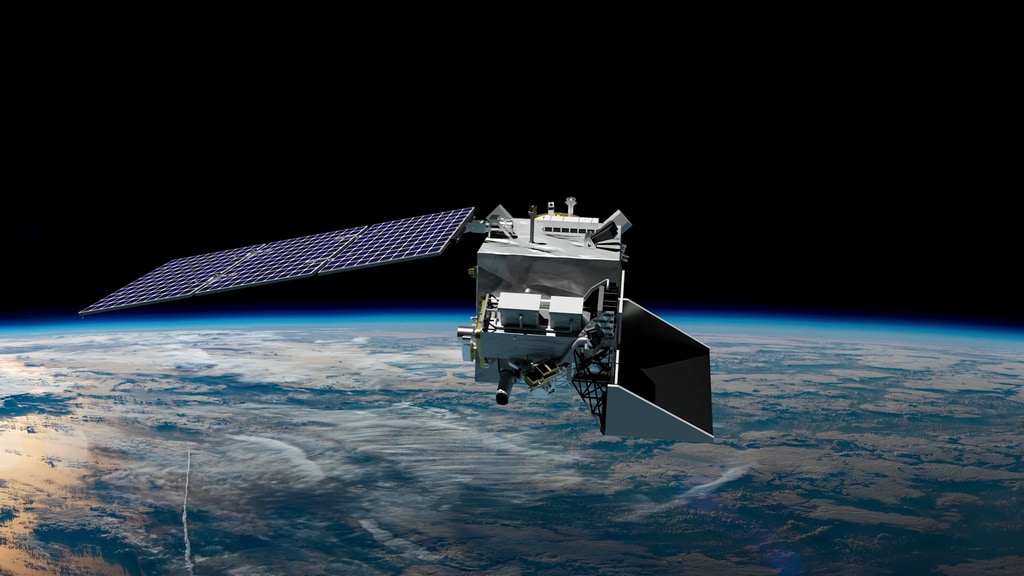
Mission Facts
- Launch readiness date: February 2024
- Launch site: Kennedy Space Center, Cape Canaveral, FL
- 676.5 km (420 mi) orbital altitude with 98° inclination
- Sun synchronous, polar orbit with 13:00 local crossing time - 3 to 24 hr data latency from collection to distribution
- 3 year design life; 10+ years of propellant
- Managed by NASA's Goddard Space Flight Center, Greenbelt, MD
| OCI | HARP2 | SPEXone | |
|---|---|---|---|
| Spectral range [bandwidth] | 342.5 - 887.5 @ 5 nm steps [5 nm] | 440, 550, 670 [10 nm] & 870 nm [40 nm] | 385 - 770 nm @ 2-4 nm steps |
| Shortwave infrared (OCI) / Polarized bands (HARP2, SPEXone) |
Seven bands centered on 940, 1038, 1250, 1378, 1615, 2130 & 2260 nm | All | Same range in 15 to 45 nm steps |
| Number of viewing angles [degrees] | Fore-aft tilt ± 20° to avoid sun glint | 10 for 440, 550, 870 nm; 60 to 670 nm [spaced over 114°] | Five [-57°, -20°, 0°, 20°, 57°] |
| Coverage [swath width] | ± 56.5° [2663 km at 20° tilt] | ± 47° [1556 km at nadir] | ± 4.5° [106 km at nadir] |
| Global coverage | 1-2 days | 2 days | 30+ days |
| Ground pixel | 1 km at nadir | 3 km | 2.5 km |
| Institution(s) | Goddard Space Flight Center | University of Maryland - Earth and Space Institute | SRON Netherlands Institute for Space Research, Airbus Defense and Space Netherlands, TINO |
Media Resources
Multimedia
- B-roll
- PACE StoryMap: A World in Water
- PACE StoryMap: Air (E)quality
- PACE StoryMap: Life & Water Level
- PACE StoryMap: Something New Under the Sun
Media Contacts & Information
- Jeremy Werdell, PACE Chief Scientist
NASA's Goddard Space Flight Center, Greenbelt, Md.
[email protected] - Jacob Richmond, Earth Science News Manager
NASA's Goddard Space Flight Center, Greenbelt, Md.
[email protected]