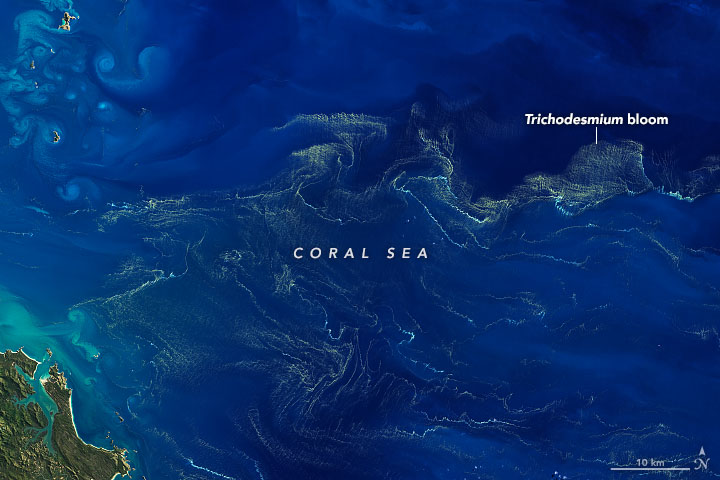
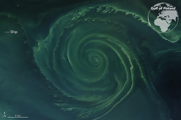
First, if you work with satellite data, you're drier, and you don't get seasick! We do need the ship-based research to ground truth the satellite data. If you think about it from an ocean scientist perspective, it's just two different tools in your tool set. We can go to sea and collect information directly that allows us to develop algorithms - mathematical relationships - that ultimately connect the ocean color measurements that we sense remotely from space with the things that we want to measure in the ocean - for instance, the number and type of phytoplankton in the seawater. But then there are days when we're stuck in front of the computer and dream about the sea, and then we go to sea and dream about being dry and stuck in front of the computer.
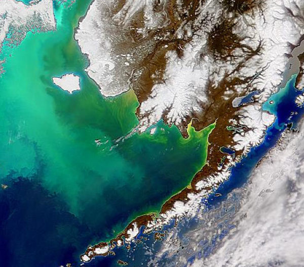
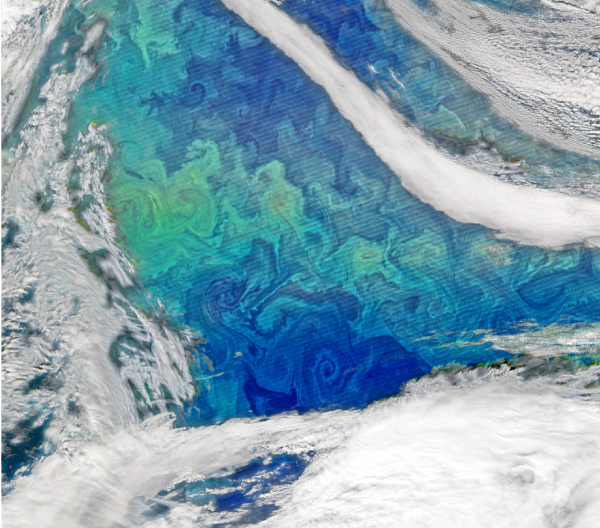
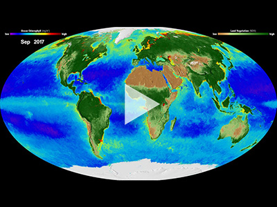
Satellite data show us greater coverage geographically of the ocean surface. When we're on a ship, we're only hitting this (tiny) part of the ocean, but the satellite is covering the entire ocean. So ultimately, we get a lot more information from satellites, versus just data from one portion of the ocean when we're sampling on a ship.
Dr. Ivona Cetinić, Ocean Ecologist and
Aimee Neeley, Oceanographer, NASA Goddard Space Flight Center in Beyond Blue: Why Ocean Color Really Matters (15-May-19)