Polarimetric retrievals of surface and aerosol parameters in polar regions from PACE multi-sensor observations (2024)
Co-Is: Jacek Chowdhary, NASA; Igor Geogdzhayev, Columbia University; Patrick Alexander, Columbia University
Polar and snow-covered regions are key to understanding the sensitivity of the ice sheets (and sea level) response to future climate forcing, and demand detailed understanding of the radiative budget at the surface in order for climate models to accurately project variations in albedo, melting cycles and the mass balance. However, the information content of heritage total reflectance measurements over such bright surfaces is insufficient to characterize the vertical distribution of grain size, non-sphericity and impurity content in the snow medium, needed to describe the reflectance properties. As a consequence, the development of accurate albedo operational products (and other products in general) in the cryosphere faces significant challenges.
We leverage the superior hyperspectral, multi-angle and polarimetric capabilities of PACE to deliver a new suite of surface and atmospheric products over the study region of Greenland. For snow, we will produce vertically-resolved crystal size, together with grain habit, with the end goal of delivering an improved albedo product (compared to heritage algorithms) which is critical for developing better climate models parametrizations. Using the complementary observations from OCI, HARP-2 and SPEXone, our advanced inversion algorithm will simultaneously deliver climatologically-relevant properties descriptive of the aerosols above, with a focus on absorbing plumes. Validation activities will include the evaluation of the surface albedo and of the subsurface constituent parameters against heritage satellite retrieval schemes and outputs from the aforementioned climate models.
Precursor studies also indicate the effectiveness of polarimetry in resolving light-absorbing impurities embedded in the snowpack from aerosols aloft, a task of paramount climatological importance. As an example of the immediate benefits brought to stakeholders, we will examine the impact such observational constraints impose on the deposition rate of impurities calculated by specialized climate models. An advanced cloud and surface-classification mask specialized for bright (snow) surfaces will be adapted to OCI observations in order to discard pixels contaminated by clouds and melt ponds, while at the same time providing the melt pond fraction within a pixel as an added product.
Collaborators: David Thompson (NASA JPL),
Bastiaan van Diedenhoven (SRON),
Otto Hasekamp (SRON),
Vanderlei Martins (UMBC),
Nan Chen (Stevens Institute of Technology),
Alexei Lyapustin (NASA),
Lorraine Remer (UMBC),
Konstantinos Tsigaridis (Columbia),
Zhonghai Jin (NASA),
Marco Tedesco (Columbia),
Luca Lelli (German Aerospace Center),
Alexander Kokhanovsky (German Research Centre for Geosciences)
Remote Sensing of the Ocean Surface Refractive Index and Oil Spill Detection for the PACE Mission (2020)
Co-I: Jacek Chowdhary, Columbia University and NASA Goddard Institute for Space Studies
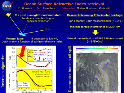
We have recently demonstrated in peer-reviewed publications how polarimetry can deliver measurements of the ocean surface refractive index. The method exploited observations from the NASA GISS Research Scanning Polarimeter (RSP) within the sunglint region, where the degree of linear polarization is determined by the fundamental Fresnel laws of specular reflection, regardless of the windspeed. At short-wave infrared wavelength, essentially unaffected by atmospheric scattering, the degree of polarization is therefore a direct function of the surface refractive index.
We intend to extend the method to PACE observations from the HARP-2 and SPEXone sensors. Although such instruments lack polarized channels in the SWIR similar to those of RSP, the method can be applied to the NIR wavelengths provided corrections to the aerosol contributions are applied. We will therefore (ii) perform advanced inversions of RSP polarimetric data using the NIR wavelengths in place of the SWIR; (ii) simulate PACE observations of the ocean surface under a range of conditions, and analyze their information content via a rigorous assessment of the uncertainties; and (iii) create a novel "ocean surface refractive index"-type of product for every HARP2 pixel within the sunglint region. We anticipate the results to be useful for investigations of processes involving the ocean surface, and for the detection of oil spills (specifically mentioned in the solicitation) and other contaminants. The study will also help recovering the significant portion of pixels otherwise discarded from PACE imagery as “sunglint- contaminated”, by turning them into a useful resource for new products associated with the retrieval of the ocean surface refractive index.
Science Meeting Presentations (3)
Ocean Surface Refractive Index retrieval and Oil Spill detection for PACE
Ottaviani, M. (27-Feb-23). Click here to view this presentation with audio.