Early Adopter
Applied Research Topic
Potential Applications ► HAB and red tide detection for coastal and inland Japanese, Indonesian, and Thai waters
Description
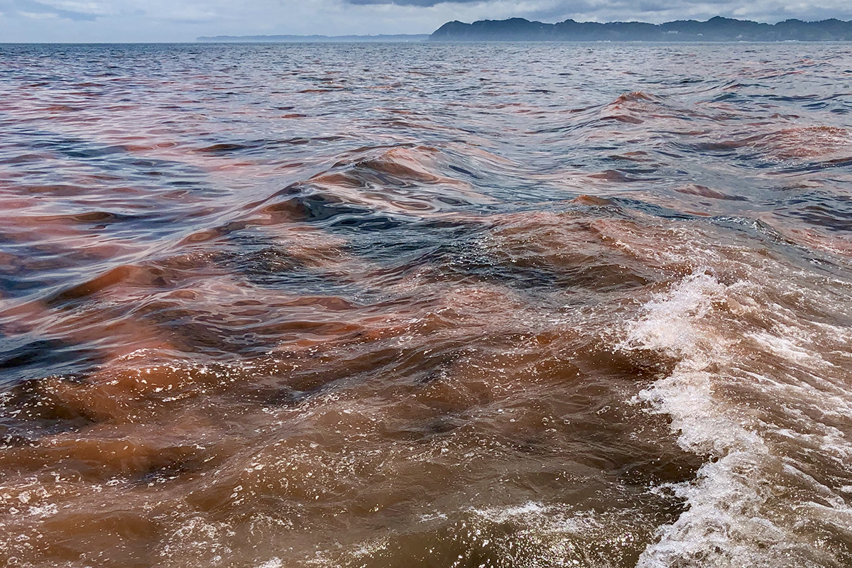
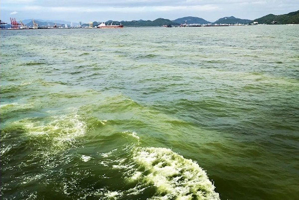
Ocean color satellite data is a key component of sustainable, routine water quality monitoring. When combined with field observations, water quality estimation models may be developed via ocean color satellite data for environmentally problematic coastal and inland waters. This project will develop suitable water quality monitoring and atmospheric correction models for satellite ocean color data to detect HABs, red tides, and blue tides in coastal areas and lakes of Japan, Indonesia, and Thailand.Significance
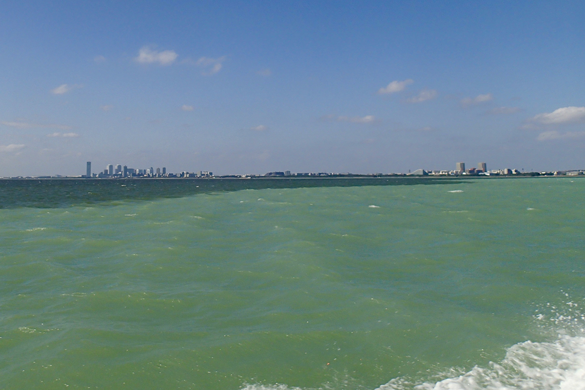
Coastal and inland water bodies, such as lakes, are important aquatic habitats, providing marine and recreational resources. However, these regions are susceptible to eutrophication and environmental problems, such as HABs and red and blue tides. Periodic and routine monitoring via ocean color satellite retrievals is critical to conserve and to effectively manage these waters.Why PACE
HAB detection is often challenging with current multi-spectral ocean color satellite instruments, and satellite ocean color retrievals are often complicated in coastal and shallow waters. Therefore, PACE will serve two roles for this projects: 1) PACE will provide continuity support for existing water quality monitoring models already in use, and 2) PACE's hyperspectral data will enable the development of new, advanced water quality monitoring models that are regionally appropriate for the coastal and inland water bodies of Japan.End User(s)
Ministry of Land, Infrastructure, Transport, and Tourism, Government of JapanPort and Airport Research Institute, Marine Environmental Information Group
Chiba Prefectural Fisheries Research Center
SAT Partner(s)
Nima PahlevanPublications
Higa, H., Sugahara, S., Salem, S.I., Nakamura, Y., & Suzuki, T. (2020). An estimation method for blue tide distribution in Tokyo Bay based on sulfur concentrations using Geostationary Ocean Color Imager (GOCI). Estuarine, Coastal and Shelf Science, 235; 106615. DOI: https://doi.org/10.1016/j.ecss.2020.106615.
Salem, S.I., Higa, H., Kim, H., Kazuhiro, K., Kobayashi, H., Oki, K., & Oki, T. (2017) Multi-Algorithm Indices and Look-Up Table for Chlorophyll-a Retrieval in Highly Turbid Water Bodies Using Multispectral Data, Remote Sensing, 9(6), 556, 2017. DOI: https://doi.org/10.3390/rs9060556.
Salem, S., Higa, H., Kim, H., Kobayashi, H., Oki, K., & Oki, T. (2017) Assessment of chlorophyll-a algorithms considering different trophic statuses and optimal bands. Sensors, 17(8), 1746. DOI: https://doi.org/10.3390/s17081746.
Siswanto, E., Ishizaka, J., Tripathy, S.C., & Miyamura, K. (2013) Detection of harmful algal blooms of Karenia mikimotoi using MODIS measurements: A case study of Seto-Inland Sea, Japan. Remote Sensing of Environment, 129, 185 -196. DOI: https://doi.org/10.1016/j.rse.2012.11.003.