Early Adopter
Applied Research Topic
Potential Applications ► Accessible satellite data use in QGIS, Marine mammal habitat and prey context, Ocean ecosystem assessment, Broader engagement with ocean science users
Description
As a NASA PACE Early Adopter, Ocean Science Analytics is contributing to the broader ocean science community through a two-fold effort:- Developing an accessible QGIS-based module for visualizing and applying PACE ocean data products in support of lowering barriers to data access for QGIS (free, open-source software) end users for their applications needs
- Applying PACE observations to fisheries and ecosystem research and serving actionable data products through public-facing dashboards designed to serve end users’ individual decision support needs
1. PACE Ocean Data in QGIS
We are developing an asynchronous QGIS module to help researchers, students, and coastal resource managers access, visualize, and apply PACE hyperspectral ocean data without needing programming experience. The tutorial covers key data products including chlorophyll concentration, phytoplankton functional types, and other ecosystem variables, and is designed to broaden the reach of PACE data across a wider range of ocean science users.
2. Topical Applications: Plankton, Megafauna, and Ecosystem Dashboards
One area of applied focus draws on the 2026 Fish-PACE HackWeek, using PACE MOANA phytoplankton community composition data products alongside marine mammal observations to explore associations between phytoplankton assemblage composition and the distribution of higher trophic level species. PACE’s hyperspectral resolution makes it possible to characterize the planktonic community at a level of detail that conventional ocean color data simply cannot, giving researchers a much richer picture of the ecological conditions shaping where marine mammals are found.
We are also working toward public-facing ecosystem dashboards that present complex PACE data in easy-to-navigate formats for a range of users. Drawing on experience with ocean farming and coastal resource management platforms, these tools are built for applications like aquaculture site assessment, water quality monitoring, and conservation management, including characterizing the habitats of protected marine resources.
Significance
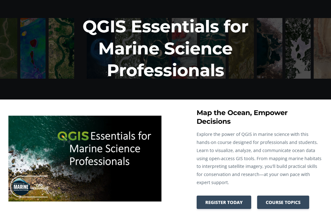
This QGIS module is part of a broader effort to make PACE’s hyperspectral ocean data accessible to the people who can use it. PACE provides detailed information on phytoplankton functional types, ocean color, and other biochemical variables that are critical for understanding marine ecosystem structure, yet these data remain out of reach for many researchers and managers due to technical barriers. By walking users through how to access and work with these products in a free, open-source GIS platform, we hope to grow the community putting PACE data to use. This builds on our QGIS Essentials for Marine Science Professionals course, which gives users foundational spatial data skills to engage with advanced ocean datasets.Why PACE
No previous satellite mission has provided global, continuous, near-daily ocean color observations the spectral resolution PACE provides. That detail unlocks new ways of characterizing phytoplankton community composition, bloom dynamics, and biogeochemical conditions across coastal and offshore environments, and those capabilities connect directly to the fisheries and ecosystem questions we care most about. From exploring how plankton assemblages relate to the distribution of fish and marine mammals, to tracking water quality, harmful algal blooms, and long-term ecosystem shifts, PACE data span a breadth of applications that makes it genuinely useful for both research and management. We are committed to helping others access and use these products.End User(s)
Marine scientists, graduate students, educators, conservation practitioners, and coastal resource managers who rely on geospatial tools like QGIS to analyze ocean conditions.SAT Partner(s)
Anna Windle