Blog
A Year of PACE Discoveries
Posted on Saturday, February 8, 2025 at 12:00:00One year ago today, NASA set its PACE.
On Feb. 8, 2023, the agency's Earth-observing satellite launched successfully into orbit at 1:33 a.m., with a mission to study ocean health, air quality, and the effects of a changing climate for the benefit of humanity.
Here are a few things PACE has taught us this year:
Validation
PACE-PAX
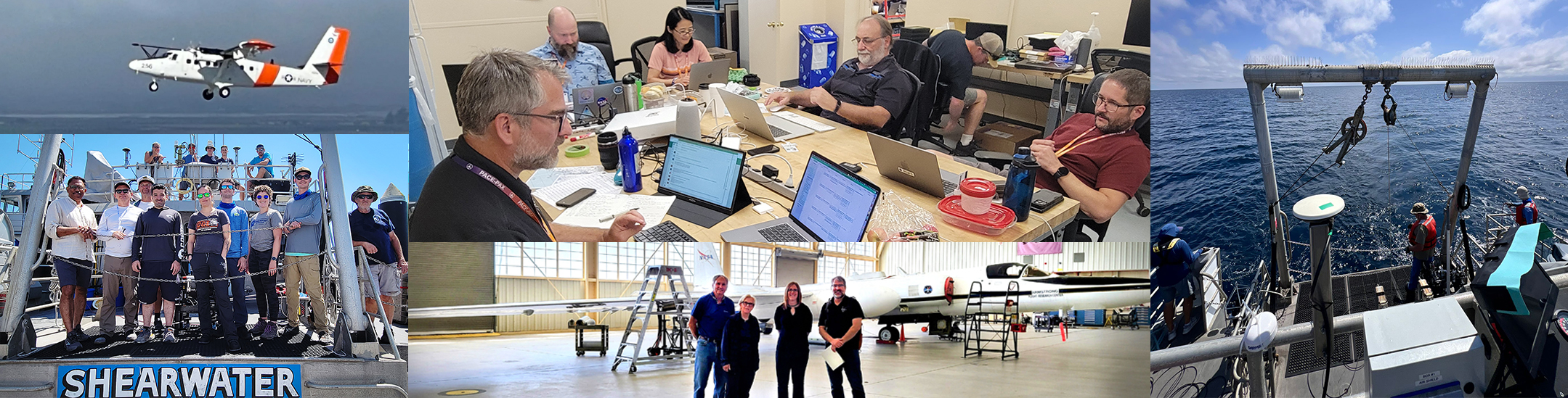
One of NASA's most expansive and complex field campaigns took place in September 2024. The goal: to check the data that the new PACE satellite is collecting from orbit about Earth’s atmosphere and ocean. To do that, NASA's PACE-PAX (Plankton, Aerosol, Cloud, ocean Ecosystem mission Postlaunch Airborne eXperiment) deployed several aircraft and ships from multiple locations in California.
During the month-long campaign, team members embarked on a complicated plan to ensure PACE data was measured correctly.
Learn more about the PACE-PAX Campaign >>
PACE Validation Science Team (PVST)
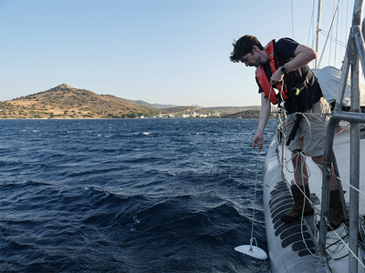
The success of Earth science space-borne missions relies on the availability of optical field measurements, as well as a solid validation plan to assess and verify the in-orbit quality of the data products. The PACE science data validation program is responsible for making sure data products meet mission-specified requirements and for assessing uncertainties across various water types, cloud conditions, and aerosol distributions. This program includes 24 PACE validation science teams fully dedicated to collect high quality validation data targeted to specific PACE data products and needs.
PVST Teams take advantage of opportunity cruises, interagency collaborations, and long-term monitoring programs to collect data around the world, using a combination of traditional and innovative instruments, spanning different types of waters and atmospheric conditions, such as harmful algal blooms, fires, dust events, among many others. Data collection is ongoing since launch and will continue until 2027. All the data collected during PVST deployments will be deposited in NASA data repositories, primarily SeaBASS. Since the late 1990s, NASA’s SeaBASS (SeaWiFS Bio-optical Archive and Storage System ) has served the ocean color community as the primary repository for in situ radiometric and pigment observations, facilitating robust product validation across multiple missions. Once the data arrives to SeaBASS, it undergoes an intensive review process to make sure data was collected following the best practices and the quality of the data meet the standards needed to compare with PACE data.
Learn more about the PACE Validation Science Team >>
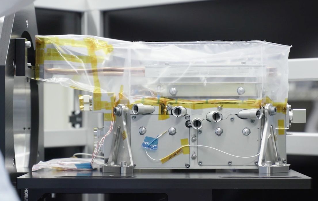
SPEXone
After the excitement of the successful launch and power-on, the SPEXone team was very eager to ‘jump’ on the first data of SPEXone, about 2 weeks after launch. What a relief it was to see the first raw detector images of an Earth scene! Equally impressive was the first data processed into full-color images of the Earth and into radiance and polarization spectra of different scenes. In no time we were able do to the first aerosol retrievals, meaning extracting aerosol properties from the muti-angle radiance and polarization spectra, thanks to a solid preparation of the computer code by the SPEXone team and efficient implementation at the Science Data Segment (SDS) at NASA GSFC.
However, with the data flowing, critical assessments of the data pointed to several issues in the processor (e.g. as simple as a wrong sign), problems in certain algorithms (e.g. related to the handling of water bodies above 5km), and errors in the calibration data (e.g. related to the absolute radiometry). Each time such issues were quickly fixed in a processor update by the SPEXone team, and implemented operationally by the SDS, paving the way for producing more accurate aerosol data for the full data set.
At the end of the commissioning phase, we were excited to see global maps of new aerosol properties (composition, size, absorption) and already a good validation with ground-based observations. After that, we continued the nice collaboration between instrument scientists, scientists, and the SDS team at NASA to gradually improve our data products. While gathering more data, the good quality of the aerosol product was confirmed and we started writing the first paper, which was recently accepted for publication in Geophysical Research Letters, just before the PACE anniversary!
It is very rewarding to see that SPEXone produces aerosol data with the good quality that we set out to achieve almost 10 years ago, and that finally the 10-year gap in global multi-angle polarimeter aerosol data availability has been closed. In the coming year, we will keep working on improving the different data processors and the quality of the aerosol products, e.g. by improving the polarimetry in the near-UV and by making use of machine learning. In addition, we will start exploring methods to make full use of the synergy of SPEXone with the other two instruments on PACE, OCI and HARP2. Finally, we will start combining the aerosol data with climate models, which will hopefully lead to an improvement of prediction of future climate by these models!
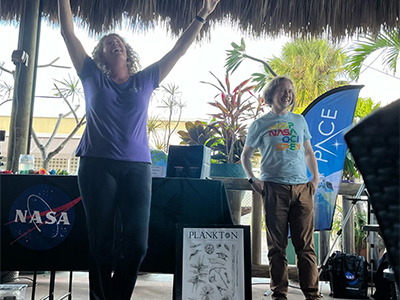
Teaching about PACE: Outreach Travels
"I didn't know NASA studied the oceans."
When attending outreach events for the PACE mission, this is the most common statement I hear. The general public always seems surprised that NASA studies anything related to Earth.
Since launch, one of my goals is to inform others that NASA not only studies space, but our planet as well. In the last year, the PACE outreach team has been all over the country discussing our work. Efforts officially kicked off at PACE’s launch in Florida. From there, we continued our outreach efforts at the Ocean Optics Conference, in New Orleans, LA, the European Geological Union in Vienna, Austria, NASA’s Earth Day Celebration in Washington, DC and the American Geological Union in Washington, DC.
In our travels, PACE has taught me the importance of educating the public about how NASA’s scientific research shows up in their daily lives without them knowing. PACE products will not only continue that, but be on the cutting edge of it.

Read about more PACE outreach efforts >>
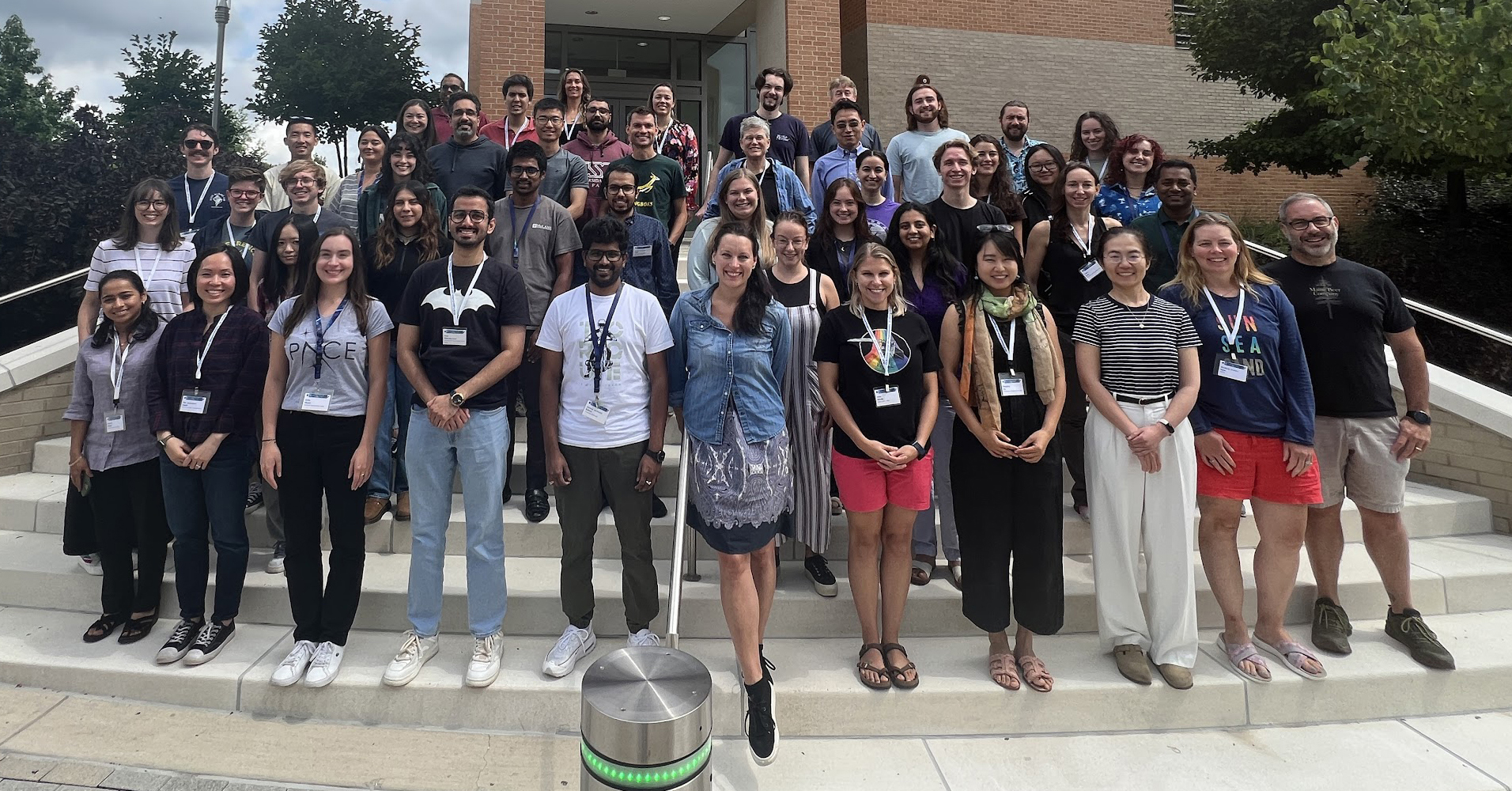
Hackweek
In August, about 40 students participated in the PACE HackWeek at the University of Maryland, Baltimore County. Hackathons, essentially coding sprints, are meant to spur development of software or data products. Scientists and coders can get together and trade skills while creating novel data products from scientific observations.
During the weeklong masterclass, participants came up with a variety of data-product ideas. For example, a group, called the OCEANOMALIES (Optical Characterization and Evaluation of Anomalous Notable Observations in Marine and Aquatic Light Environments from Satellites), investigated ways to take advantage of PACE's hyperspectral capabilities to fully characterize optical variables that could not be accurately described or distinguished with legacy multi-spectral instrumentation
Learn more about the PACE Hackweek >>
Creating PACE Imagery
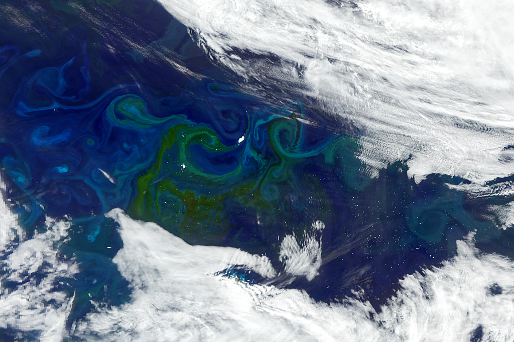
With a major mission like PACE, people are excited to see the results, and the team cannot wait to share them! From the first-light image being released in April to the NASA Science Calendar image, I have worked on showing off what PACE can do.
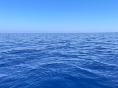
I often spend time looking at worldwide images from PACE to find interesting observations. One scene caught my eye when I was looking at the South Atlantic. A great summer phytoplankton bloom was happening, and one day, a hole in the clouds North of South Georgia Island revealed giant icebergs floating in the currents with the plankton, directly below the path of PACE. I thought the image was striking, and showing something I had not seen often. Once I find a good image, my job is to work on the colors and light levels to bring out the different elements that have a very wide range of intensity, the white clouds and icebergs being very bright, and the ocean containing the plankton being very dark. I am satisfied when we can see all the elements clearly.
Other than true color images like this one, PACE has immense scientific potential with its hyperspectral spectrometer and two polarimeters, and while those unprecedented measures also make it challenging to visualize, I am hoping that I will be able to work more on that in the next year.
PACES Studies the Terrestrial Aspects of Earth
Although PACE was not designed to study land specifically, the first year of the mission has proved just how useful its data can be to terrestrial science. Two land-focused products were released soon after launch, providing the first global, near-daily, hyperspectral surface reflectances and vegetation indices. These data have enabled us to start picking apart the nuances in Earth’s ecosystems that couldn’t be seen or studied with previous missions. For example, instead of looking at a patch of forest or crops and saying, "these plants look stressed", with PACE we can start to get at the chemistry behind that stress response, possibly even seeing it show up in the spectra before it appears to our eyes. Capturing these minute shifts in plant pigments could be extremely useful in resource management applications, and is possible with only a few of a PACE OCI’s narrow bands. I’m excited to see what we can uncover about our planet using OCI’s full spectrum, and even more how we can apply these discoveries to pressing climate issues.
