
Blog
PACE Land Data Are Now Available Through NASA AppEEARS
Posted on Tuesday, August 18, 2026 at 12:00:00
NASA AppEEARS is a web-based tool that helps users find, explore, and download satellite data from NASA and other federal data archives. Instead of downloading an entire dataset, you can select a specific area, time period, or data layer and download just what you need.
With the addition of PACE land products in AppEEARS Version 3.122, researchers and other users interested in land, vegetation, and ecosystems have a new, more accessible way to work with PACE observations.
The PACE mission is best known for its ability to observe Earth's ocean and atmosphere, but its data can also tell us a lot about what's happening on land.
Two PACE land data product collections are now available through AppEEARS:
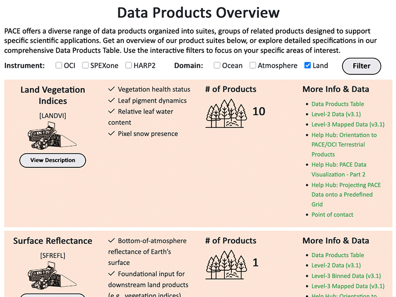
- Land Vegetation Indices (LANDVI) Data Suite: Includes 10 vegetation indexes. These products provide information that can help users monitor vegetation and understand changes in plant health and land conditions.
- Spectral Surface Reflectance (SFREFL) Data Suite: Hyperspectral reflectance information across over 100 wavelengths.
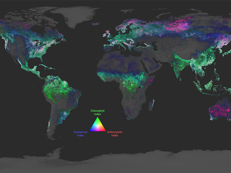
The LANDVI collection includes familiar measures such as NDVI and NDWI, along with new vegetation measures made possible by PACE's ability to observe a wider range of colors — or wavelengths — of light.
PACE SFREFL data are unique in the remote sensing community: they provide frequent, global observations of Earth's surface across a much broader range of wavelengths than many traditional satellite sensors. This additional information can help researchers take a closer look at vegetation, ecosystems, and other changes happening across the landscape.
PACE land products are available in AppEEARS at 2 km, 4 km, and 0.1-degree spatial resolutions, with both daily and 8-day options. All data provide continuous, global coverage.
AppEEARS lets you customize your data by location, date, and data layer, so you can focus on the information that's most relevant to your work. The result is a more manageable download and an easier starting point for exploring PACE data.
Whether you're interested in vegetation monitoring, ecosystem studies, land surface conditions, or other applications, AppEEARS provides a straightforward way to get started with PACE land observations.
Ready to explore PACE data?
NASA Earthdata is hosting “PACE Yourself to Faster Science: Accessing PACE Land Products in NASA Earthdata's AppEEARS,” a companion webinar designed to help users begin working with PACE land products in AppEEARS.
The webinar will provide an opportunity to learn more about accessing and working with these datasets and see how AppEEARS can make it easier to find and customize the PACE observations you need.
Learn more about the webinar and register through NASA Earthdata.
Don’t wait to get started. Check out these resources: