
Blog
NASA Needs Your GLOBE Clouds Photos!
Posted on Monday, September 21, 2026 at 12:00:00PACE, also known as the Plankton, Aerosol, Cloud, ocean Ecosystem satellite, provides a unique hyperspectral view of the entire planet every 1–2 days designed to reveal invisible information about tiny algae (fish food) in the sea, plants on the land, and particles in the air.
A relatively new NASA satellite launched in 2024, PACE is looking at clouds in a way we haven’t seen before. PACE measures how clouds and aerosols (tiny particles in the atmosphere) absorb and reflect sunlight to provide information about cloud cover and cloud type, key factors in weather and visibility forecasts. This information can also provide insight into how aerosols and clouds interact and how aerosols and clouds affect climate—things that are not well understood.
Dr. Andy Sayer from the NASA PACE satellite mission is studying whether PACE data can provide data on total cloud cover in an area by distinguishing what is a cloud (and what’s not) and determining the exact edge of clouds.
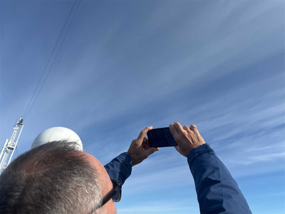
This is where the GLOBE Program comes in. GLOBE is a large network of citizen scientists using scientific protocols to submit environmental monitoring data to an open-source database. One popular protocol is GLOBE Clouds. From September 15–October 15, volunteers will be asked to take GLOBE Clouds observations that include photos of clouds in all directions, including up, that are aligned with the PACE satellite passing overhead. These observations will offer Dr. Sayer an opportunity to compare PACE satellite data with ground-based observations of the same clouds.
“We want to be able to identify whether or not each pixel in a satellite image is a cloud or not, because if it's cloudy we want to determine the properties of that cloud, and if it's not cloudy we want to determine the properties of the atmosphere and surface underneath the cloud. So cloud detection is normally the first step in a satellite data processing stream. However, it is difficult to know objectively how well the cloud detection techniques work, especially near cloud edges and in situations where clouds are broken (given our pixels are about 1.2 km across). So the ground observers will help us to assess that.”— Dr. Andy Sayer, University of Maryland Baltimore County at NASA Goddard Space Flight Center and the atmosphere science lead for PACE’s Ocean Color Instrument.
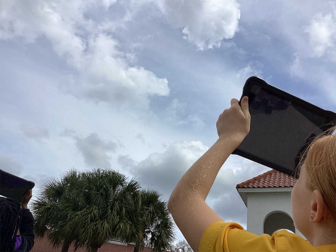
GLOBE invites everyone to participate in the PACE Clouds Challenge—whether you have been doing GLOBE for decades or are new to GLOBE! A Clouds observation typically takes about 5 minutes to complete. And if your observation is aligned with PACE or other satellites working with GLOBE, you will receive an email from NASA that shows how your observation compares to satellite data, including satellite imagery of your observation location. Learn how to participate by visiting the PACE Clouds Challenge page. NASA needs your Clouds photos!